Preserving Australia’s Geodetic Legacy
Refurbishing Surveyor Generals Corner: RM Surveys’ Role in Preserving Australia’s Geodetic Legacy
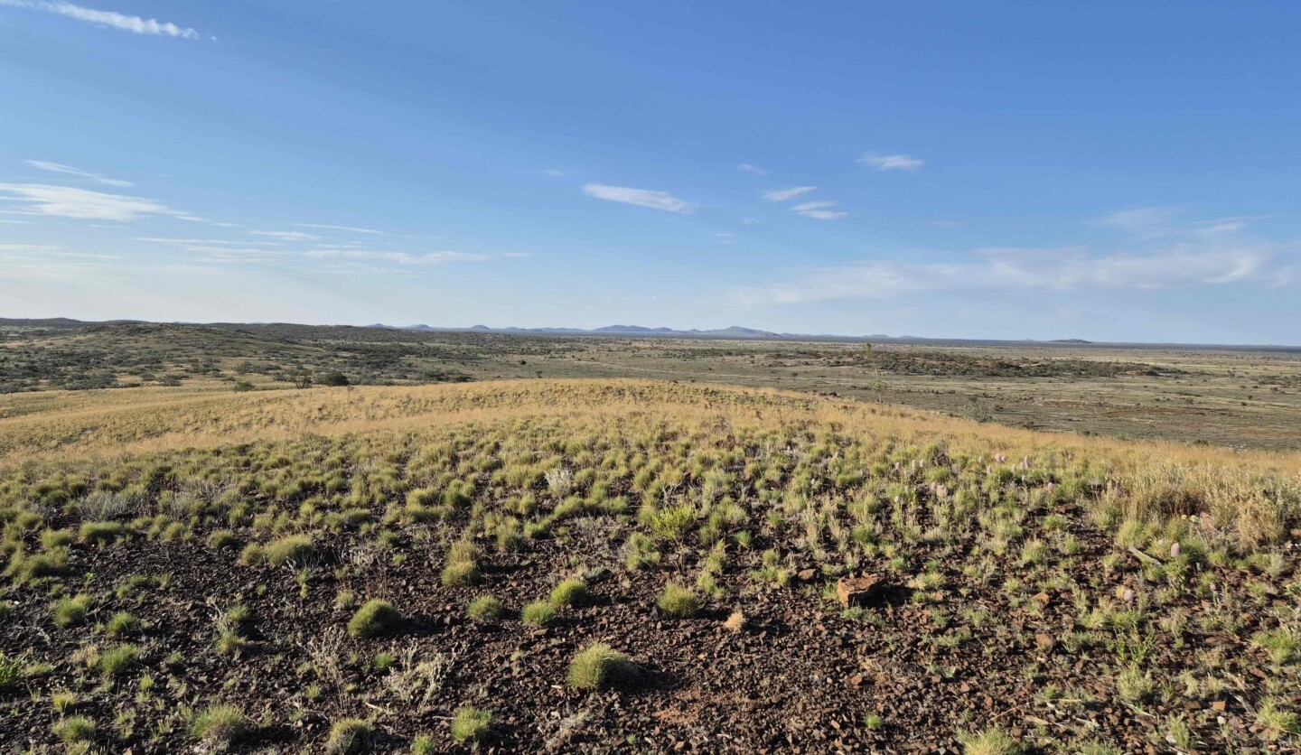
The Surveyor Generals Corner, the intersection of Western Australia, South Australia, and the Northern Territory, holds a significant place in Australia’s surveying history. Established in 1958, the corner was originally marked using astronomical observations, with a wooden post and later two concrete pillars symbolising this critical geographical intersection. Fast forward to today, and RM Surveys has played an integral role in the refurbishment of this iconic site, working alongside Curtin University, past Surveyor Generals, and specialist geodetic surveyors.
Geoff Robb, Managing Director of RM Surveys, took the lead on this project, lending his expertise to a venture that bridges the past with modern technology. “This project re-establishes the originally marked corner of WA, NT, and SA,” Geoff explained.
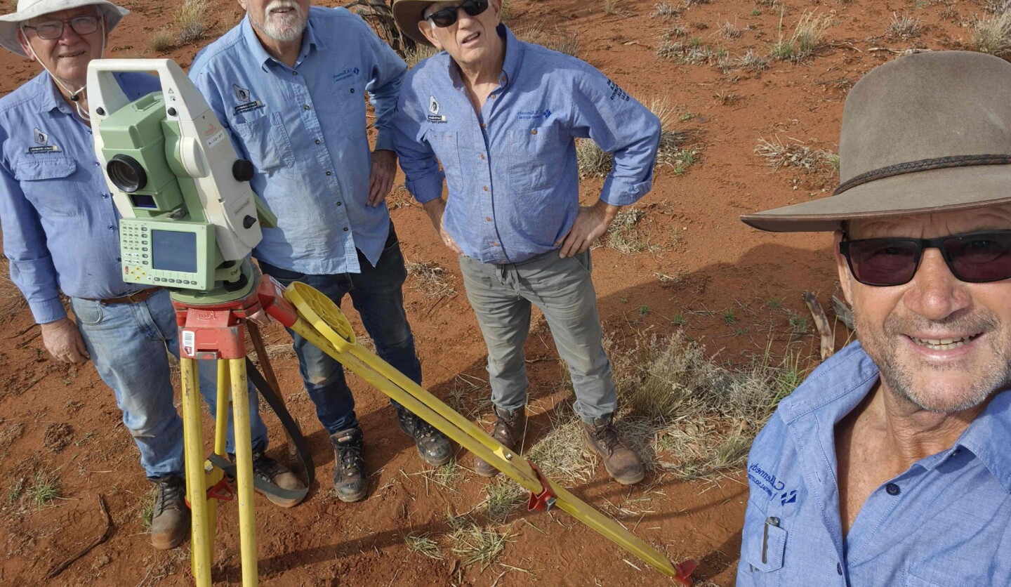
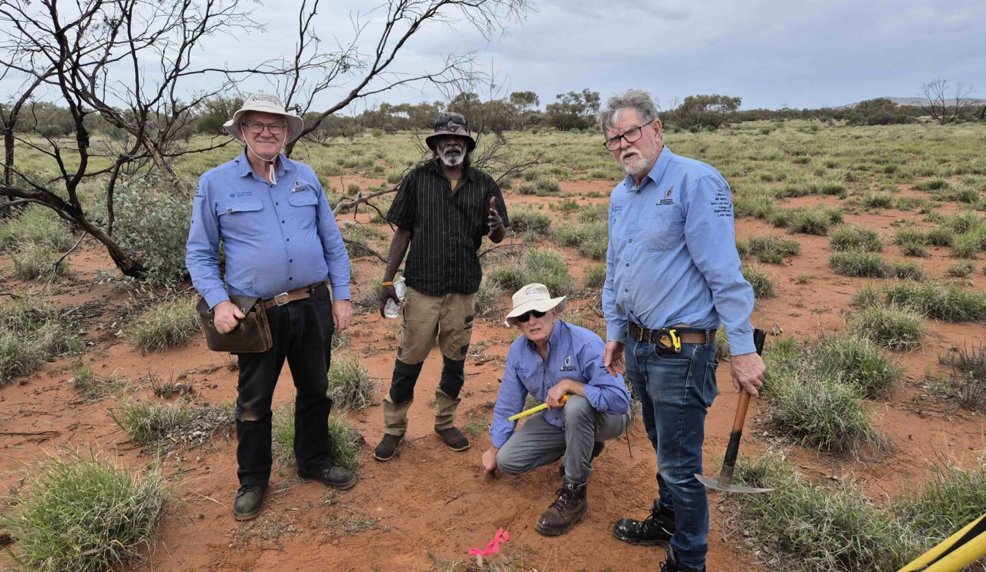
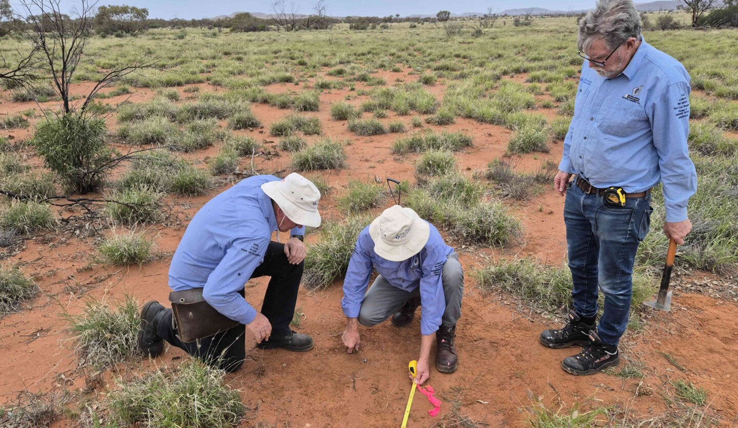
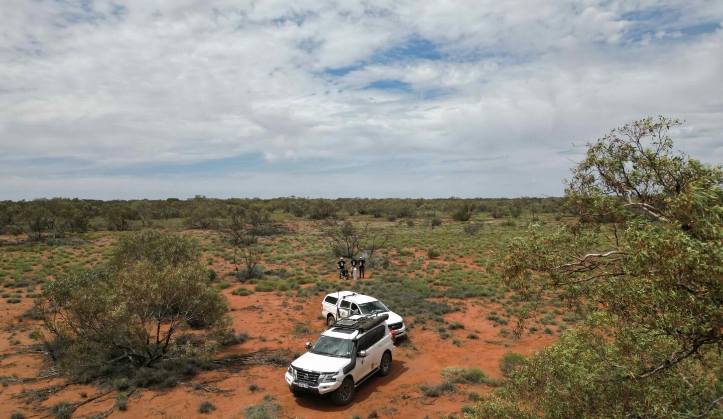
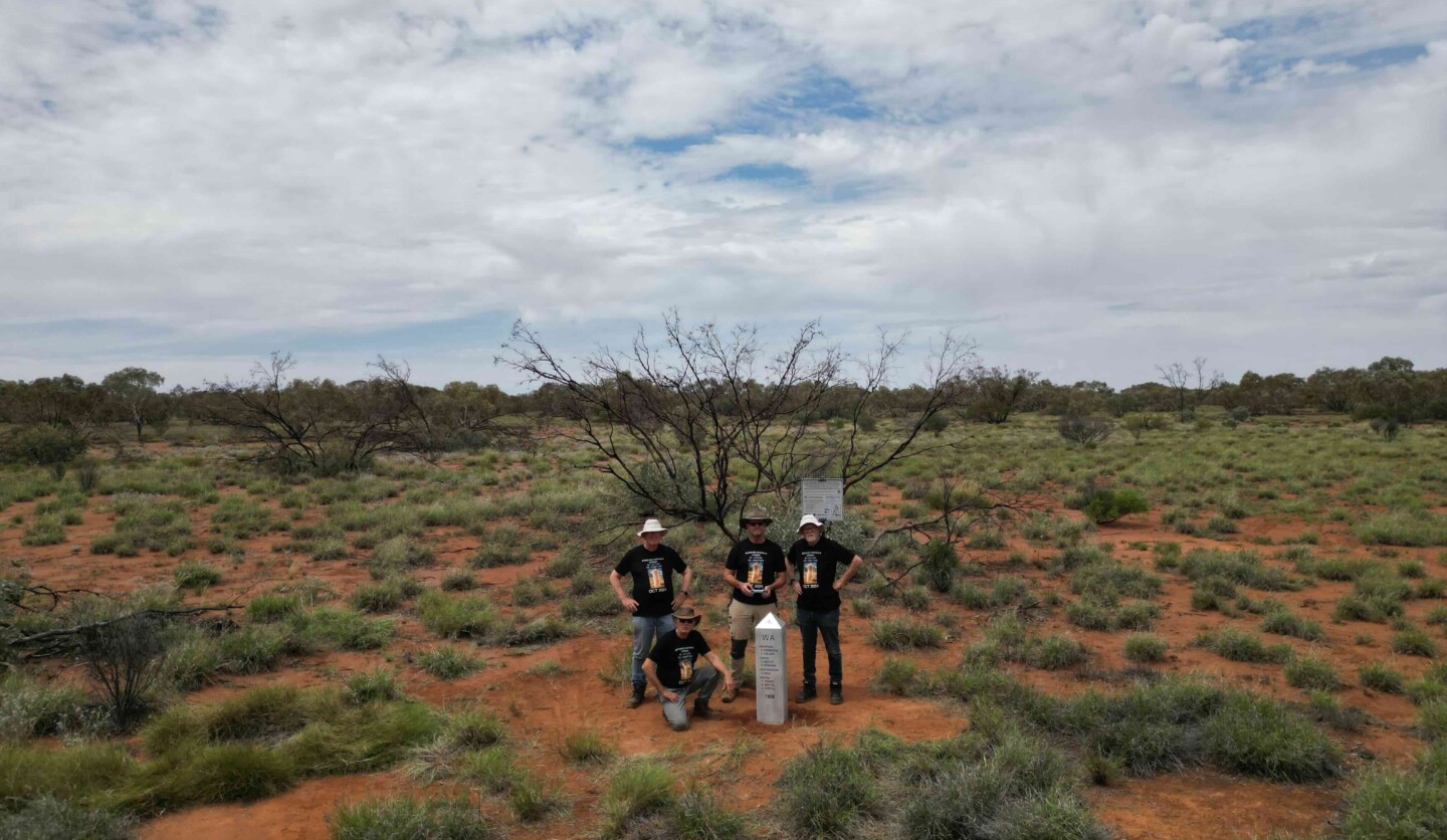
Main Image Above: Senior party members, Eugene Browne, Ken Leighton, and Gerry Nolan with traditional owner, Max.
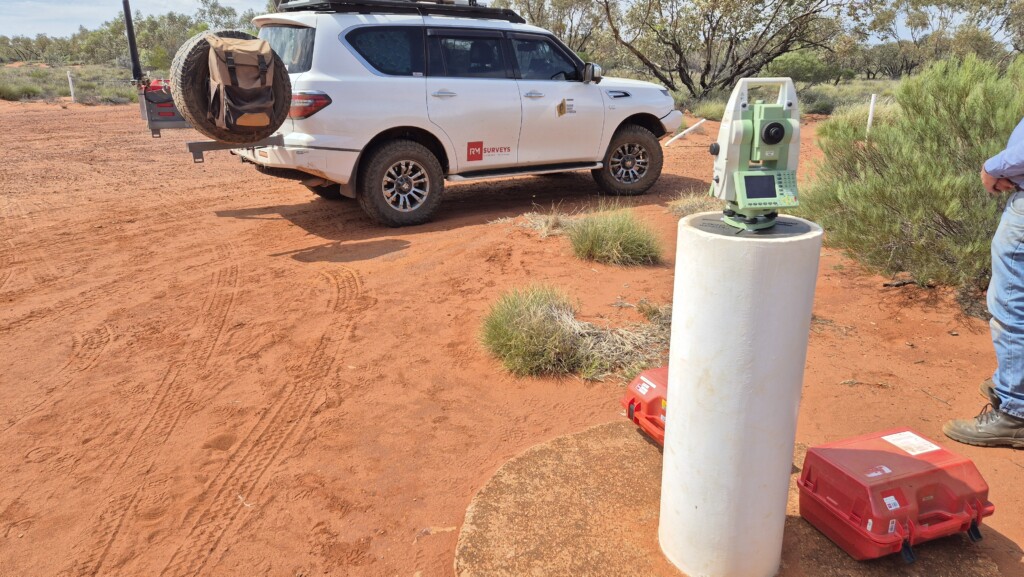
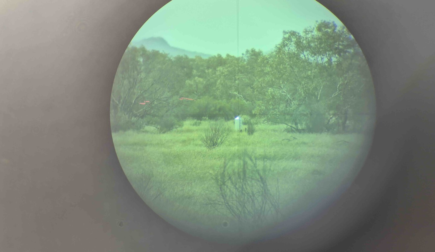
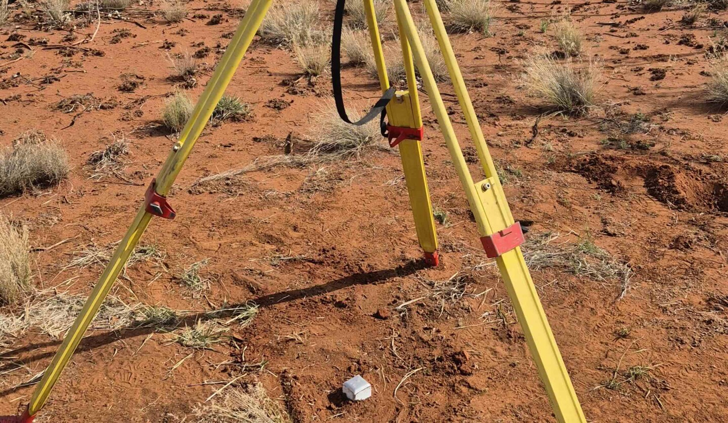
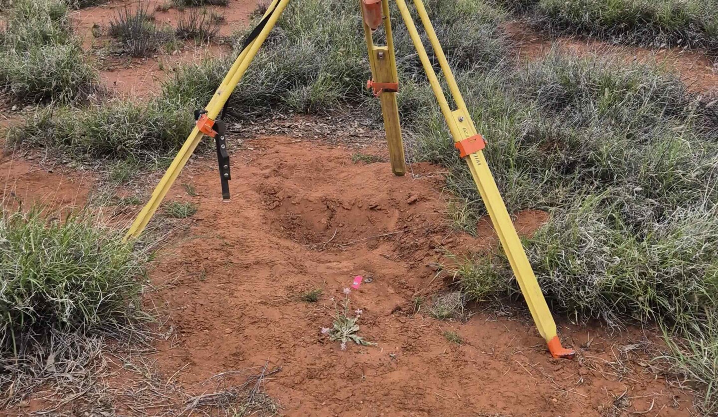
Leica Total Station setup on the West Pillar to carry out terrestrial observations to reestablish marks that were used to determine its position.
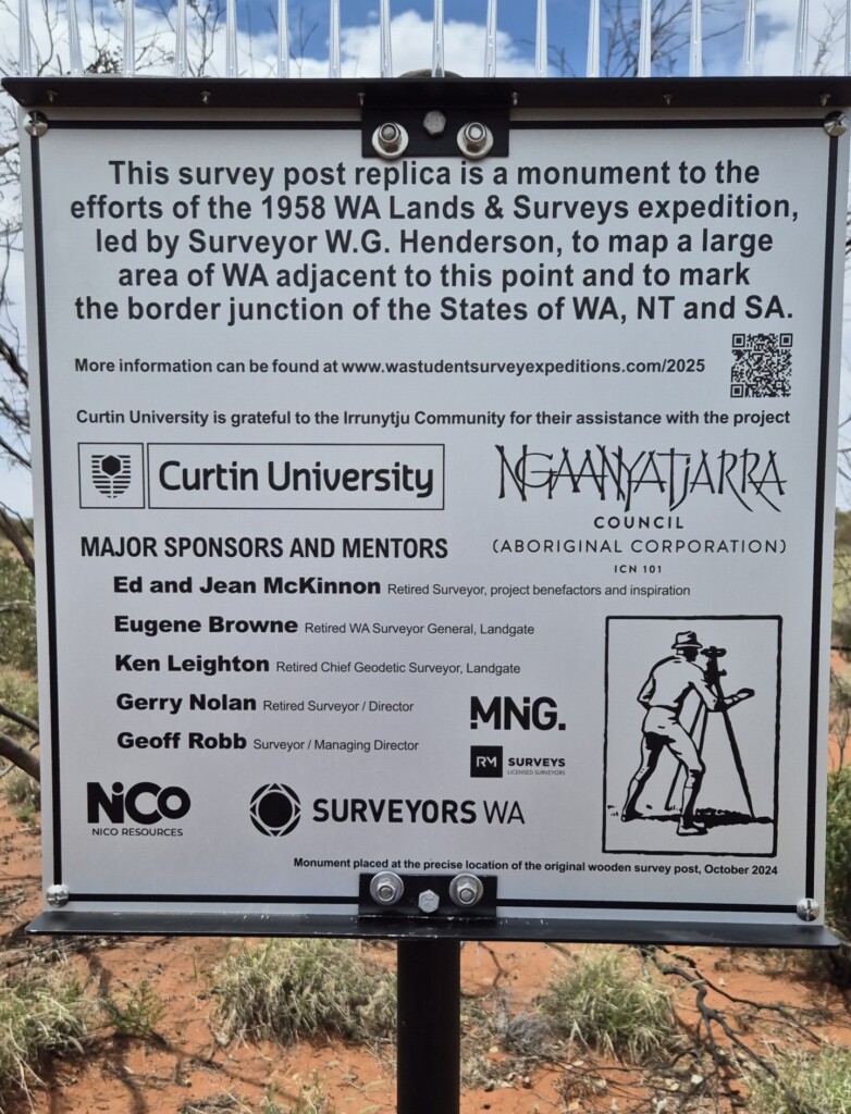
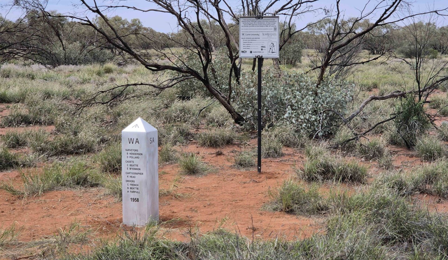
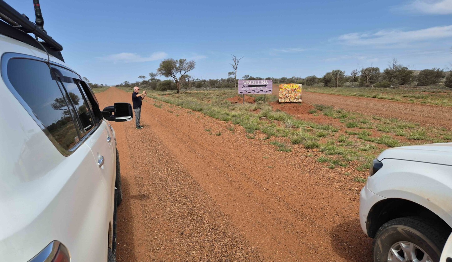
Signage installed to mark the installation and contributions of the 1958 replica Pillar.
A Commitment to Precision and Heritage
RM Surveys’ involvement in the refurbishment was driven by a commitment to preserving the historical significance of the site while applying modern surveying methods. Geoff, along with other directors from RM Surveys, has been involved with Curtin University student expeditions, bringing years of experience to this project. “Our role was to provide technical expertise in the use of modern-day equipment and calculate the current position using GNSS observations,” Geoff noted. His expertise, as well as the logistical support he offered, was key to the project’s success.
One of the major upgrades made to the site was the installation of a new aluminium pillar marking the original corner point. “The original determination is no longer recognised, but it’s important to preserve it,” Geoff said. Long-term GNSS observations were used to record the exact positions of the pillars, ensuring that the geodetic accuracy is maintained for future generations.
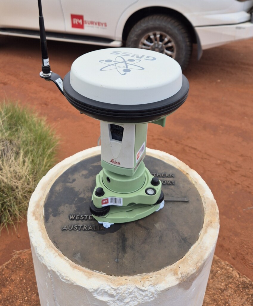
GNSS base station setup on the West Pillar to enable static GNSS observations and to facilitate RTK GNSS observations.
"With the advancement of technology, we can now compare modern geodetic data with the original astronomical observations."
- Geoff Robb, Managing Director of RM Surveys
One of the main challenges was the remote location.The journey took three days one way and to have a camp nearby was very welcome.
- Geoff Robb, Managing Director of RM Surveys
Overcoming Challenges in a Remote Environment
The remote location of Surveyor Generals Corner posed its own challenges. Situated far from major cities, the project required careful logistical planning. Accommodation was provided by NiCo Resources, whose camp near the corner allowed the team to complete their work.
Geoff also emphasised the importance of collaboration with local communities and engaging with traditional owners to ensure cultural sensitivity. “We worked closely with traditional owner Max, who inspected the site and gave his approval for the project,” Geoff shared.
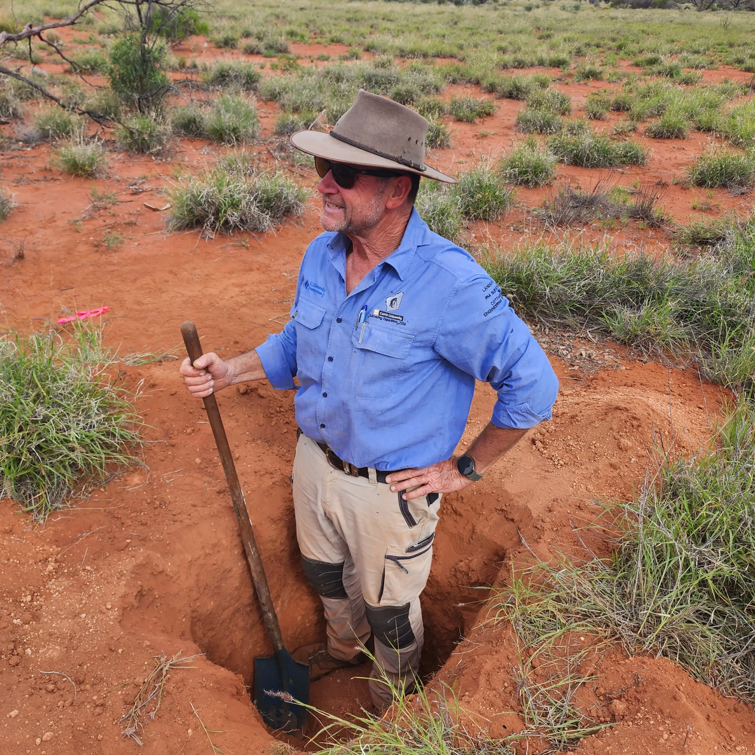
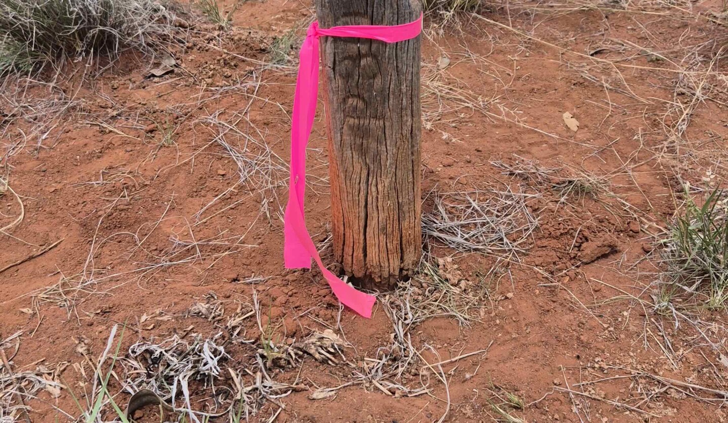
Mentor, Geoff Robb completing the excavation for the replacement of the pillar. This photo also shows the depth of the excavation.
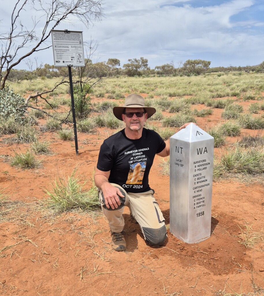
Curtin Mentor and RM Surveys Managing Director Geoff Robb, with the newly installed replica1958 border monument.
Advancing Technology and Industry Expertise
The refurbishment of the Surveyor Generals Corner marks a significant step forward for the geodetic surveying community. Using the latest GNSS equipment, RM Surveys ensured that the data collected would serve as a valuable resource for future research. “Geodetic positioning was once determined through astronomical and geodetic terrestrial observations,” Geoff explained. “Today, we use multi-constellation satellite networks, allowing us to determine positions more accurately and quickly.”
The collaboration between RM Surveys and industry experts, such as Ken Leighton and Eugene Browne and Gerry Nolan demonstrates RM Surveys’ dedication to advancing both technology and education within the spatial sciences. “The team has worked together for over 15 years, contributing to the education of future and present surveying professionals,” Geoff said proudly.
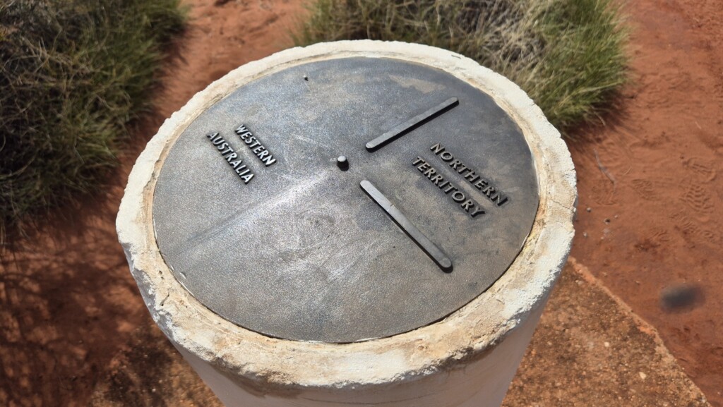
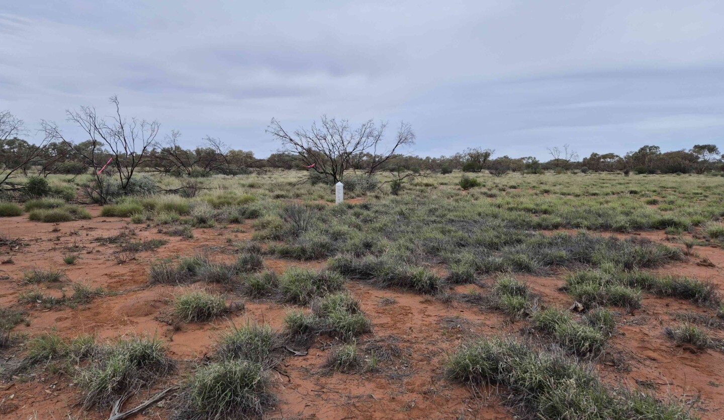
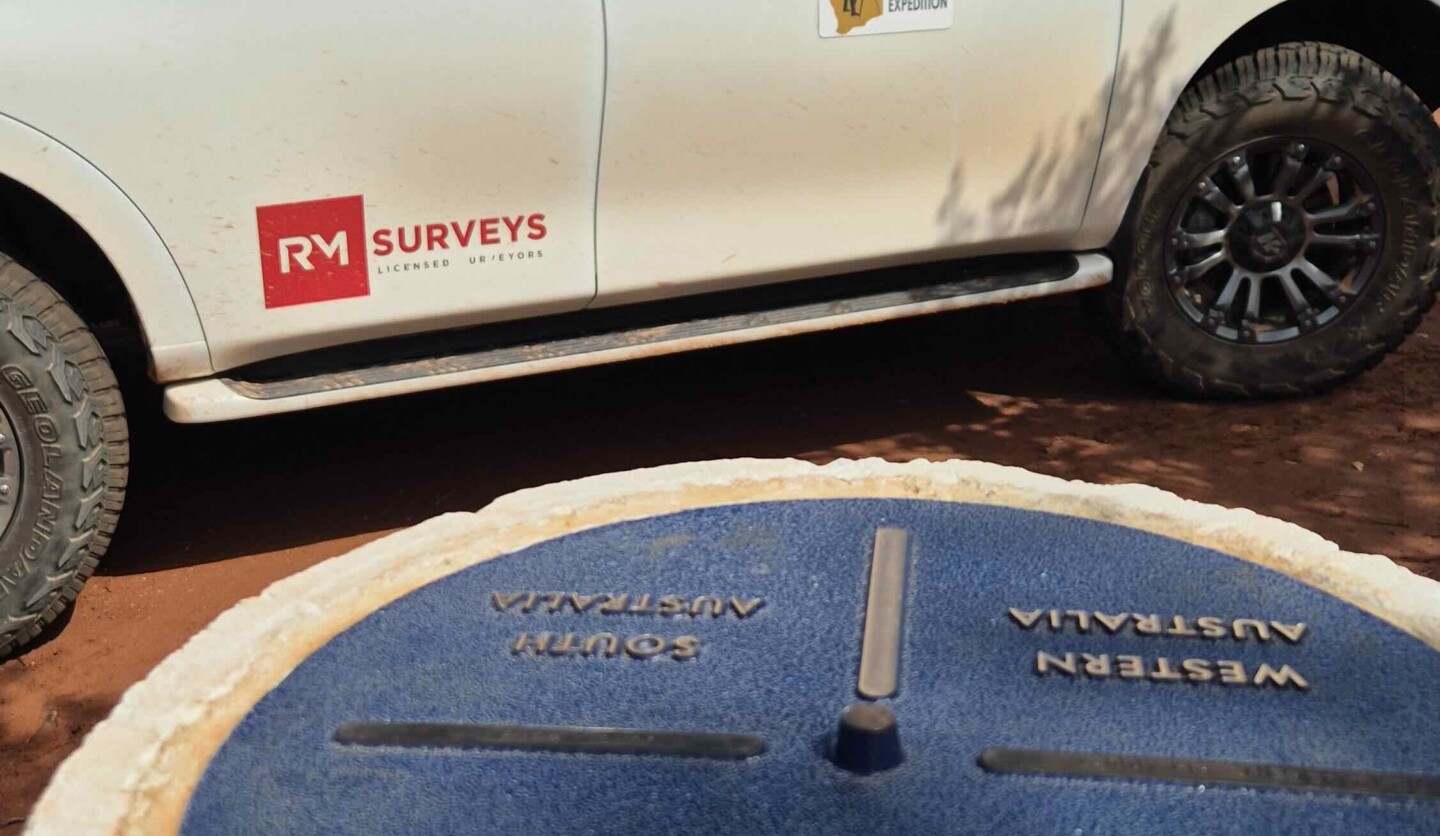
Western Border Pillar established in 1968.
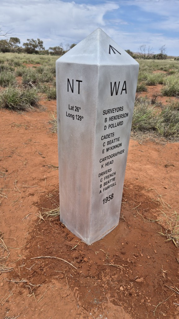
Newly installed Replica Pillar in the 1958 border position
As RM Surveys continues to be a leader in the industry, projects like the refurbishment of the Surveyor Generals Corner reinforce its commitment to historical preservation and technological innovation. Geoff Robb’s leadership in this project showcases RM Surveys’ deep connection to Australia’s surveying heritage and their forward-thinking approach to modern geodetic challenges.
- Geoff Robb, Managing Director of RM Surveys

