Bathymetric Survey of the Donnelly River
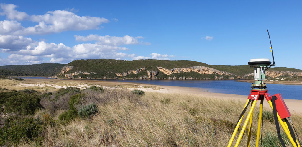
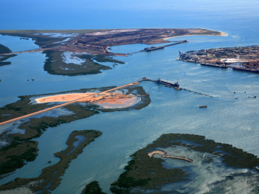
One fine winter’s day in July, RM Surveys carried out a bathymetric survey to map the mouth of the Donnelly River. This included utilising RM Survey’s remote-controlled Accura Bathymetric survey vessel to map the river bed and their Inspire 2 UAV to capture aerial photography of the surroundings.
The result was a complete DTM covering the dune, beach and banks of the Donnelly River, as well as the actual river bed itself!

The job threw a few challenges our way, such as the remote access of the mouth and on the ground problem-solving, all of which was handled with easy through RM Surveys extensive pre-planning and attention to detail. The result was a cost-efficient and time effective solution for the client.

