Boundary Survey

Accurate boundary surveys for property development, ensuring precise land measurements.
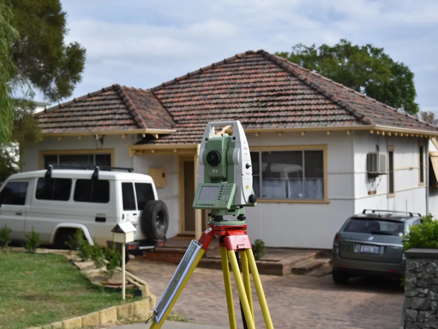
Boundary survey

Accurate Land Boundary Surveys for Clear Property Definition

RM Surveys’ boundary survey services provide tailored solutions for property developers, real estate professionals, and homeowners, ensuring you know precisely what belongs to you and what belongs to your neighbours.

Whether you are resolving boundary disputes or confirming property limits, our licensed surveyors use advanced techniques to re-establish corners and provide a regulation 25A-compliant certificate.

By ensuring compliance and protecting your investment, we help clients avoid costly boundary issues and legal complications. With RM Surveys, you can confidently move forward, knowing your property’s boundaries are clearly defined and expertly secured.

Boundary survey

Protect Your Investment with a Boundary Survey

A land boundary survey is more than just a legal formality—it’s your key to peace of mind and property security. By clearly defining your property lines, it prevents potential neighbour disputes and protects your ownership rights.

This service will reveal potential issues, such as encroachments or easements, before they become costly legal problems. It also ensures you’re in line with local zoning regulations, which is key when planning improvements like building or fencing.

Ultimately, it’s a safeguard for your investment, offering precise, reliable documentation that can be used in property transactions or legal proceedings.

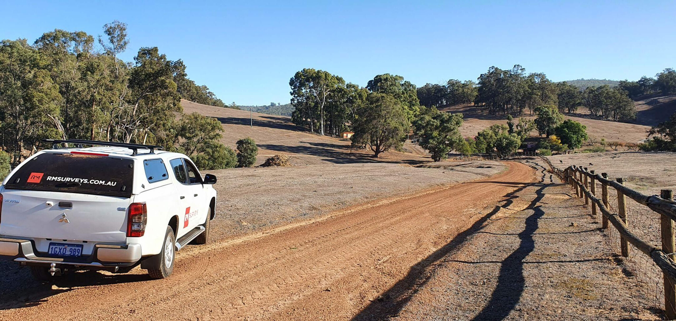
Boundary Survey Projects

View all projects
project image
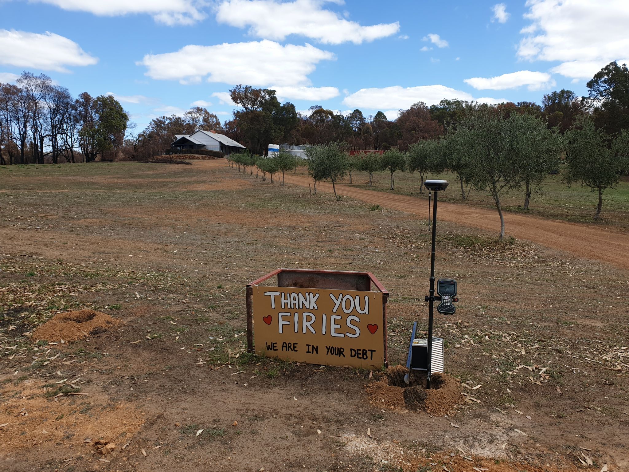
1 Fire-affected Gidgegannup Community

RM Surveys played a vital role in the rebuild of the fire-affected Gidgegannup community by providing precise land boundary surveys. These surveys ensured accurate property boundary identification, enabling safe reconstruction. This expertise helped the community rebuild efficiently, preventing future disputes and ensuring compliance with local regulations.

View more
project image
2 Survey Strata Subdivisions in Halls Creek

RM Surveys assisted with survey strata subdivisions in Halls Creek by providing accurate boundary surveys. These surveys enabled the precise division of land, facilitating smooth development and subdivision approvals. Our work ensured compliance with local regulations and helped streamline the project, allowing for efficient land management and future property development.

View more
project image
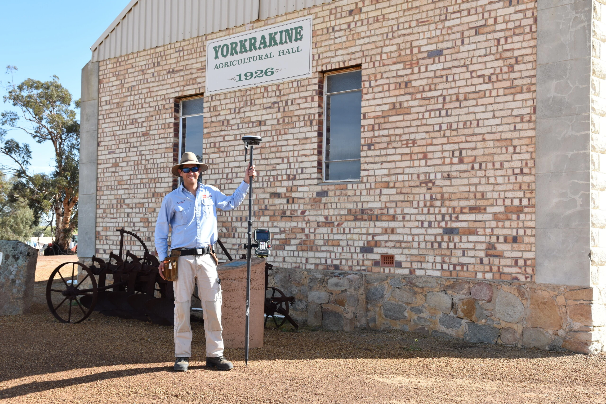
3 Farm Subdivisions in Yorkrakine

RM Surveys provided essential boundary survey services for the Bungulla North Road farm subdivision in Yorkrakine. Their accurate land surveys enabled the subdivision of the property, ensuring precise boundary definitions for the newly created lots. This work ensured compliance with local regulations and supported the successful development of the agricultural land.

View more

Frequently Asked Questions

Do I need a land boundary survey if I’m installing a fence?

Yes, a land boundary survey is recommended before installing a fence to ensure that it is placed within your legal property boundaries and does not encroach on neighbouring land.

Can a boundary survey resolve disputes with my neighbour?

Yes, a boundary survey provides accurate, legal proof of your property’s boundaries, which can help resolve disputes and prevent legal complications with neighbours including the supply of regulation 25A-compliant certificate.

How long does a boundary survey take?

The time it takes to complete a boundary survey varies depending on the size of the property and the complexity of the boundaries. Typically, it can take anywhere from a few days to a couple of weeks.

How often should I get a boundary survey done?

A boundary survey is typically done when you purchase a property, develop land, or engage in a boundary-related project, such as building or fencing. It is also advisable if you suspect boundary encroachments.