Geodetic
Surveys
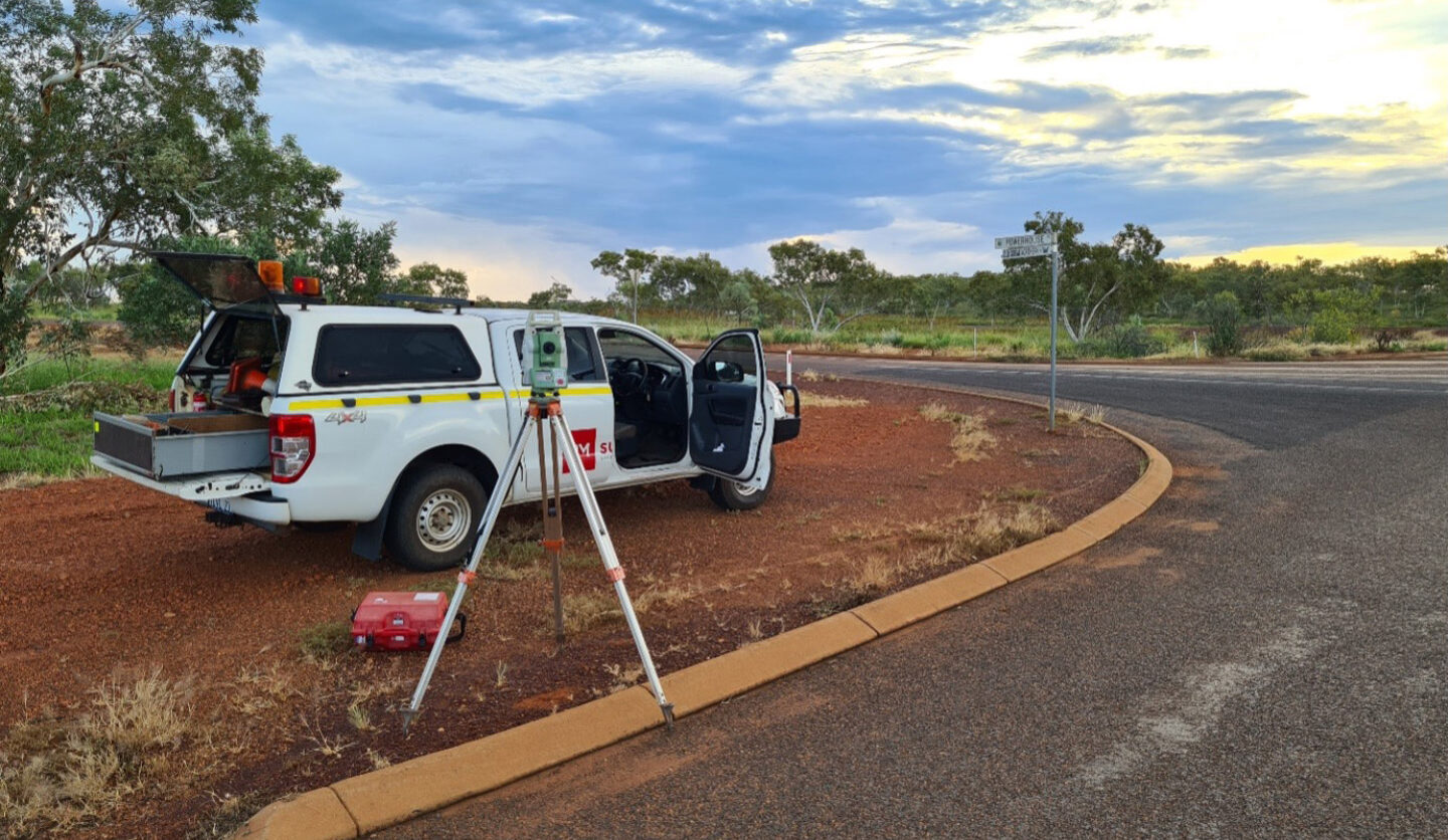
Geodetic surveys play a crucial role in providing spatial data essential for various applications in engineering, geosciences, environmental monitoring, and other fields requiring precise positional information on a global scale.
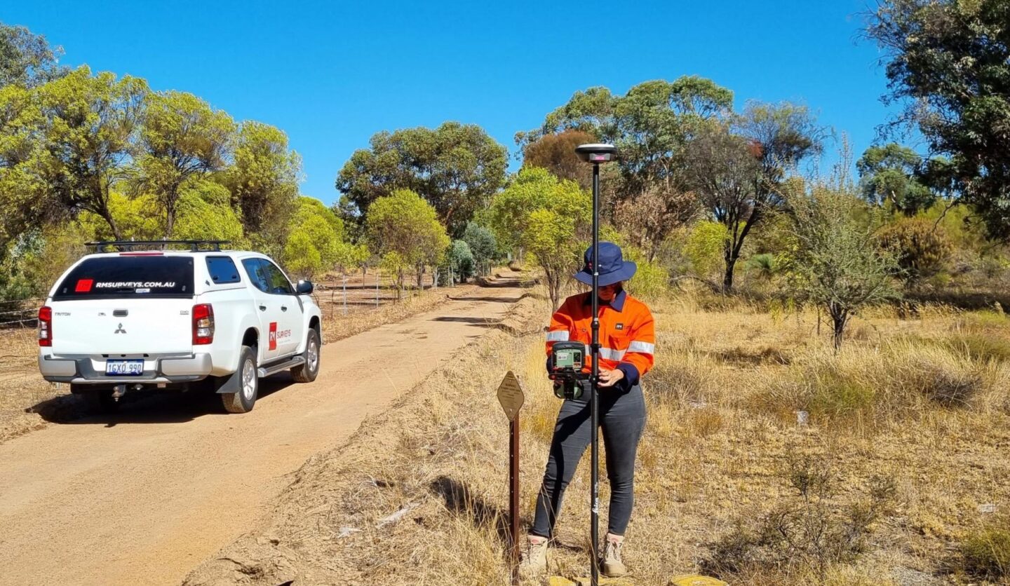
Geodetic surveys provide the foundation for infrastructure development projects such as roads, bridges, buildings, and utilities. Accurate spatial data ensures that infrastructure is constructed in the right locations and according to specified designs, minimizing errors and maximizing efficiency.