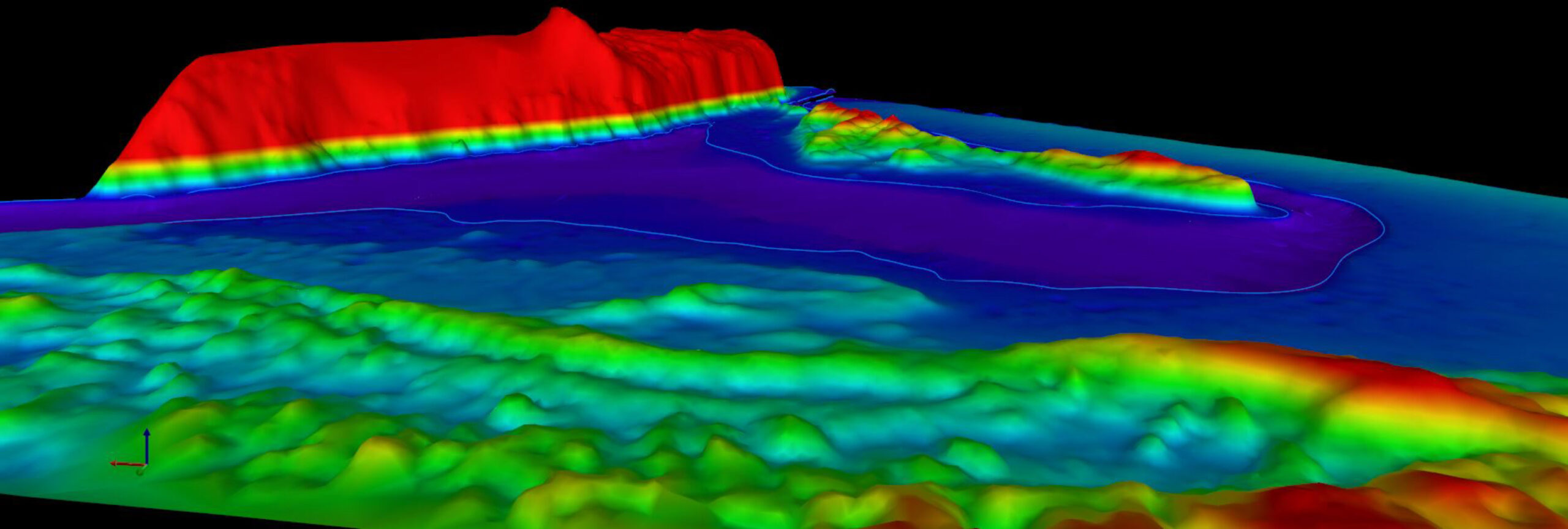
Enhance Decision-Making with Precise Photogrammetry Data
Photogrammetry services play a crucial role in capturing accurate spatial data for various applications, from construction site monitoring to environmental assessments.
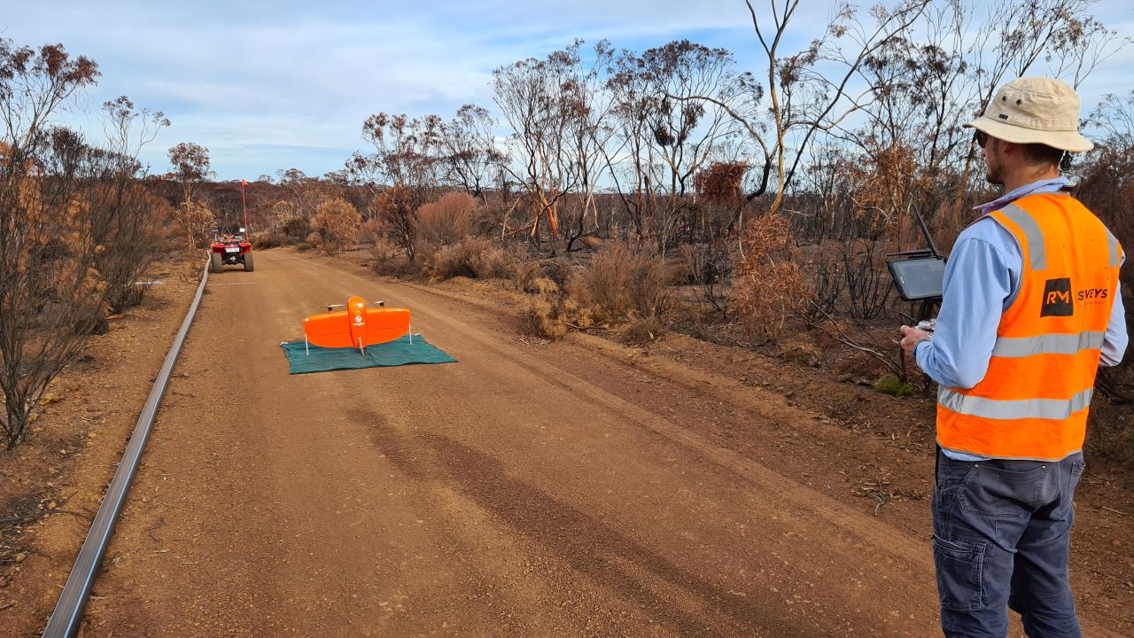
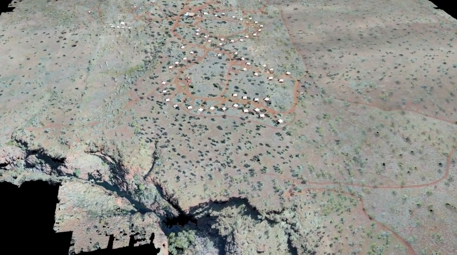
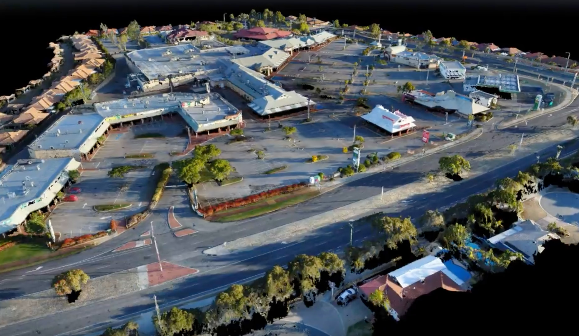
By using high-resolution drone imagery, photogrammetry creates detailed 3D models, reducing the need for manual measurements and speeding up data collection.
The benefits include improved project planning, enhanced decision-making, cost savings through efficient data capture, and increased safety by surveying hard-to-reach areas remotely.
With photogrammetry, projects can be completed faster, more accurately, and with fewer resources.

