Terrestrial Laser Scanning

RM Surveys’ laser scanning services deliver highly accurate 3D datasets for complex structures and environments, using advanced terrestrial laser technology to capture detailed measurements.

Expert Laser Scanning for Complex Environments and Structures

Laser scanning services involve using advanced terrestrial laser technology to capture precise, high-resolution 3D measurements of structures, landscapes, and complex environments.

This technology is essential across industries such as construction, engineering, and mining, where accurate measurements and detailed modelling are critical for planning, construction , and fabrication.

RM Surveys brings extensive experience and expertise in laser scanning, delivering reliable, efficient solutions tailored to meet the unique needs of each project, ensuring precision from start to finish.

Boost Efficiency and Reduce Costs with Advanced Laser Scanning

RM Surveys’ laser scanning services offer a range of benefits that enhance project outcomes.

With enhanced accuracy and reliability, our technology ensures precise data capture for detailed analysis, helping to reduce project risks and costs by streamlining data collection and minimising rework.

We also ensure full compliance with industry standards, delivering high-quality data that meet all regulatory requirements.

Additionally, our solutions are tailored to the specific needs of your project, providing customised support from the planning stages through to execution.

Terrestrial Laser Scanning Projects

View all projects
project image
1 Coogee Chemicals, Kwinana

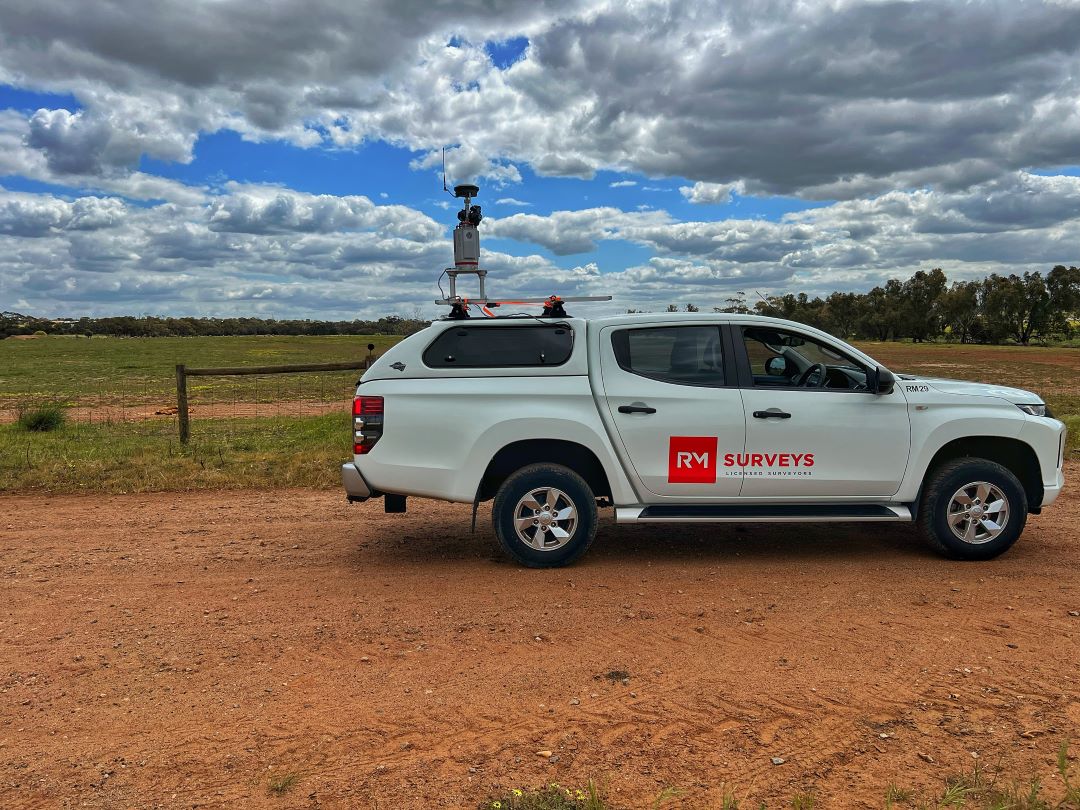
RM Surveys was engaged to provide precise laser scanning for a 2.5km pipe run and surrounding infrastructure, where no accurate as-built documentation existed.

Using advanced laser scanning technology, we created a detailed colourised point cloud that allowed the consultant to easily differentiate between services.

This high-resolution 3D model provided the essential spatial data needed for informed decision-making and seamless engineering design of new pipe runs.

View more
project image
2 Broome’s New Town Beach Jetty

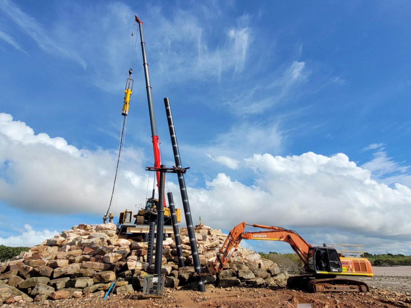
RM Surveys was engaged by SMC Marine to provide site surveying for the new jetty at Town Beach in Broome, overcoming challenging tidal conditions with up to 10m fluctuations.

Using advanced laser scanning technology, we delivered precise data to support the construction.

With extensive experience in the Kimberley and Pilbara regions, RM Surveys offers a broad range of services, including mining, cadastral subdivisions, UAV surveys, and laser scanning, making us the trusted partner for remote projects.

View more
project image
3 Broome Senior High School

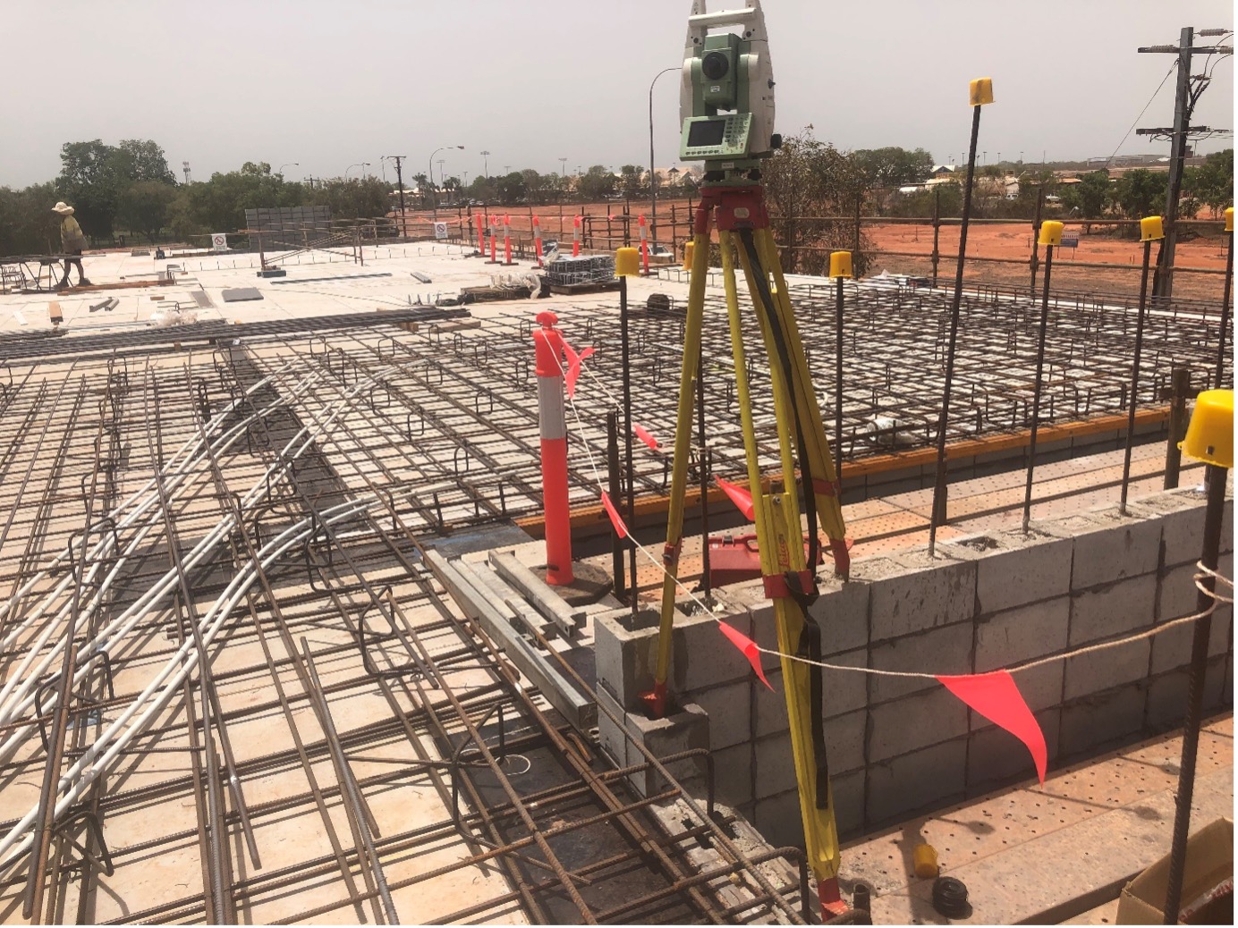
RM Surveys utilised advanced laser scanning technology for Crothers Construction’s upgrade of Broome Senior High School, which included a new STEM building, commercial kitchen, cultural area, and bike storage.

Our laser scanning services ensured precise data collection for setting out earthworks, utility services, footings, and concrete floors, providing the accuracy needed for such a large-scale project.

With extensive experience in the Kimberley and Pilbara regions, RM Surveys delivers expert surveying solutions, including laser scanning, to meet the unique demands of remote construction projects.

View more
project image
4 Perth Zoo Enclosures

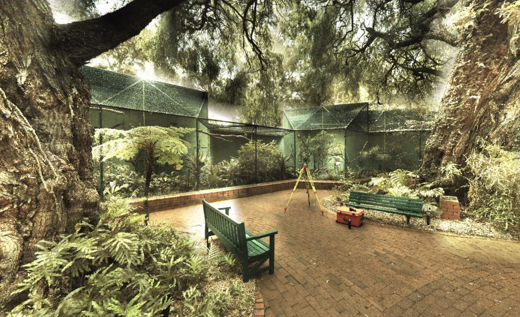
RM Surveys utilised laser scanning technology to assist Perth Zoo in the redevelopment of animal exhibits.

For this project, we provided a 3D laser scan and model of a large rock to assess its suitability for animal use, as well as a detailed scan of the African Lion exhibit, capturing contours, services, hardscaping, and structures.

These precise 3D models enabled the zoo to design accurate extensions and improvements, demonstrating the value of laser scanning in creating tailored, detailed plans for unique environments.

View more

Frequently Asked Questions

What is laser scanning, and how does it work?

Laser scanning is a technology that uses light in the form of a laser to capture accurate 3D measurements of structures and environments. It works by emitting light that measure distances and generate 3D point clouds, creating a precise digital representation of the area scanned.

What are the benefits of laser scanning for my project?

Laser scanning offers enhanced accuracy, speed, and efficiency compared to traditional surveying methods. It reduces project risks, lowers costs by minimising errors, and provides detailed 3D datasets that are essential for planning, feasibility, construction, and design.

Which industries can benefit from laser scanning services?

Laser scanning is widely used in industries such as construction, engineering, mining, and heritage preservation. It provides critical data for infrastructure projects, building surveys, environmental monitoring, and more, ensuring precise measurements for complex projects.

How accurate is laser scanning compared to traditional survey methods?

Terrestrial laser scanning can provide highly accurate measurements if conducted correctly. When conducted terrestrially, you can maintain accuracies of +/- 2mm, which is repeatable and reliable. It can efficiently capture complex details, making it a superior option for projects with access restrictions, such as large-scale construction, medical precincts, or public centres.