Cadastral Surveying
Cadastral & PropertyWe provide precise cadastral surveying and tailored spatial data solutions for all your property and land needs. With our expert guidance, you'll confidently navigate every stage of your asset, ensuring accuracy and successful outcomes.
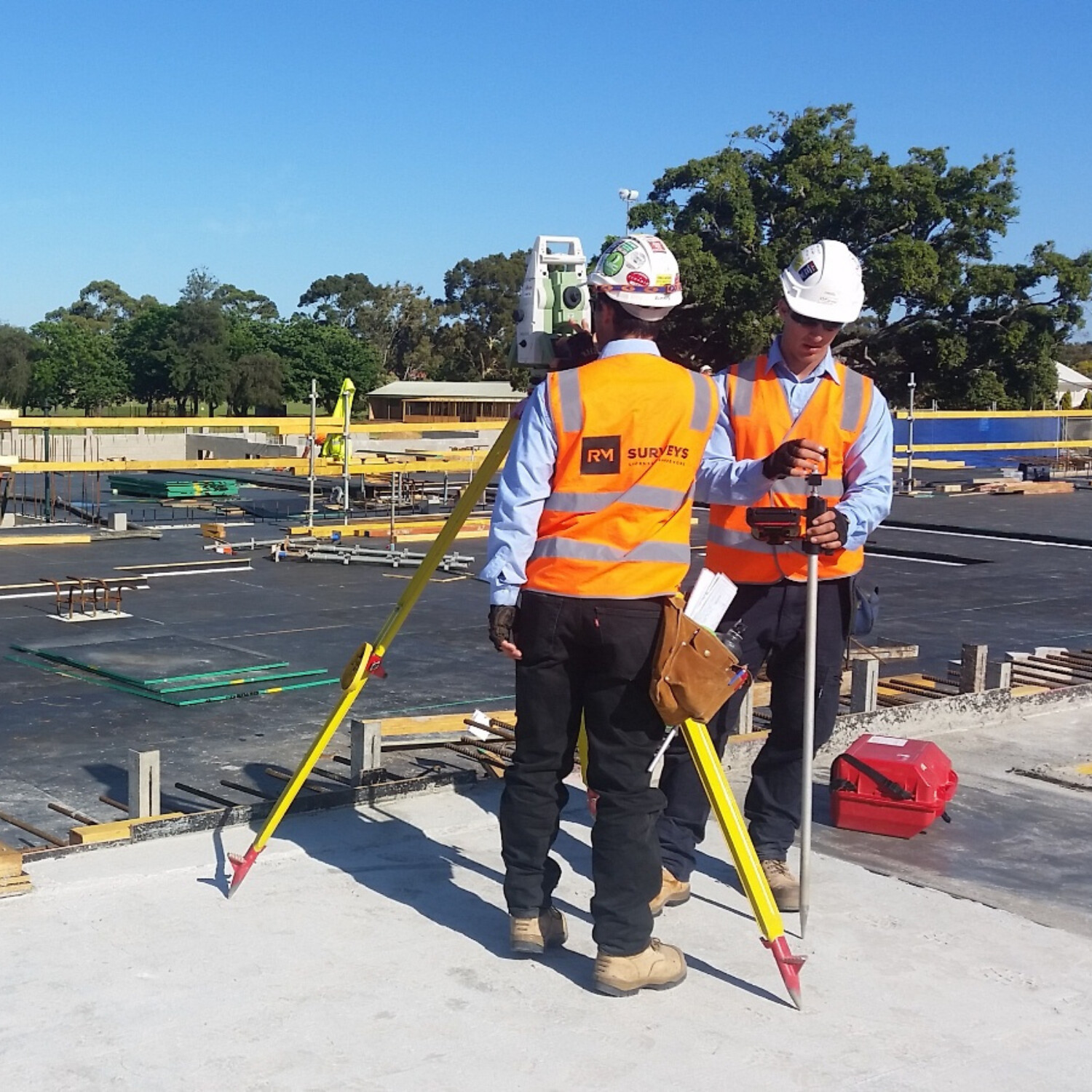
Accuracy
Our property surveys deliver precise boundary definitions, offering clarity on property lines and preventing disputes, allowing you to confidently move forward with your land development.
Reliability
We ensure all surveys meet legal requirements and industry standards, providing you with the documentation needed for regulatory compliance and smooth project execution.
tailored solutions
Our property experts will customise to your specific needs. Offering detailed and reliable spatial data that supports informed decision-making and optimised planning.
At RM Surveys, we combine years of expertise with advanced technology to provide comprehensive cadastral and property survey services. Our Licensed Surveyors ensure compliance and reliability across all assets, giving you the confidence to make informed decisions.
From subdivisions and strata surveys to mining tenements, lease area certifications, and boundary definitions, we provide the accurate spatial data needed to guide every stage of your project. Our tailored solutions support land development, planning, and asset management, ensuring seamless outcomes and minimising risks.
With RM Surveys, you can trust in expert data and support to confidently manage your land assets from start to finish.
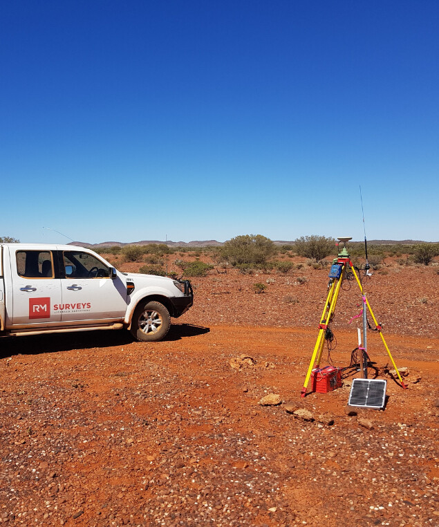
Delivering Reliable Cadastral and Property Surveys for Every Asset
Our Approach
Our cadastral surveys offer precise boundary definitions and property assessments, ensuring accuracy for legal, planning, and development needs. We provide reliable, tailored solutions backed by advanced technology and industry expertise.
The People Company Of Spatial Experts

At RM Surveys, our cadastral and property surveying team is composed of highly skilled, licensed professionals with extensive experience in the field. We are dedicated to delivering accurate and reliable surveying solutions tailored to the unique needs of each asset.
Our team uses the latest technology and adheres to industry best practices to ensure precise boundary assessments, property divisions, and compliance with legal regulations. Our expert surveyors will work closely with you to provide detailed and actionable insights, ensuring your asset success from start to finish.
Success Stories
Our Impact in Action
Explore our case studies to see how RM Surveys has delivered precise cadastral and property survey solutions across various projects. From land subdivisions to complex boundary re-establishments, our expertise ensures accurate results and compliance with legal requirements. Learn how our tailored approach has helped clients achieve successful outcomes.
Industry
Sectors
Discover how RM Surveys’ cadastral and property surveying expertise supports a wide range of sectors. From residential developments to large-scale infrastructure and government projects, our precise surveying solutions ensure accurate land boundaries, legal compliance, and informed decision-making. Explore the sectors we serve and see how our services can benefit your project.
Frequently Asked Questions
What is a cadastral survey, and why do I need one?
A cadastral survey defines the boundaries of your property and ensures accurate land ownership records. It is essential for legal documentation, resolving boundary disputes, and guiding development projects.
How accurate are RM Surveys' cadastral and property surveys?
RM Surveys uses advanced technology and licensed professionals to provide highly accurate surveys. We ensure that every boundary, measurement, and legal requirement is precisely met for reliable, complaint results.
How long does a cadastral survey typically take?
The time frame of a cadastral survey typically depends on the complexity of the property and project. After assessing your assets needs, we will provide a clear timeline to ensure your project stays on track.
Can RM Surveys help with boundary disputes?
Yes, we can assist in resolving boundary disputes by conducting precise cadastral surveys to establish accurate property lines and provide documentation that supports legal resolutions.


