
Geospatial Services
Geospatial & Digital
Our geospatial services provide accurate data and insights to help you get the most out of your projects. From field surveys to desktop analysis, we offer tailored solutions that empower you to make informed decisions, no matter your industry.
RM Surveys: Your Trusted Geospatial Service Providers
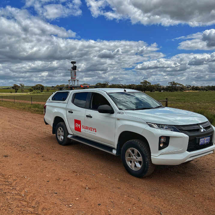
Cutting-Edge Technology
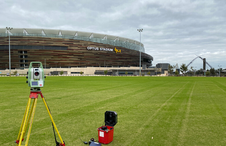
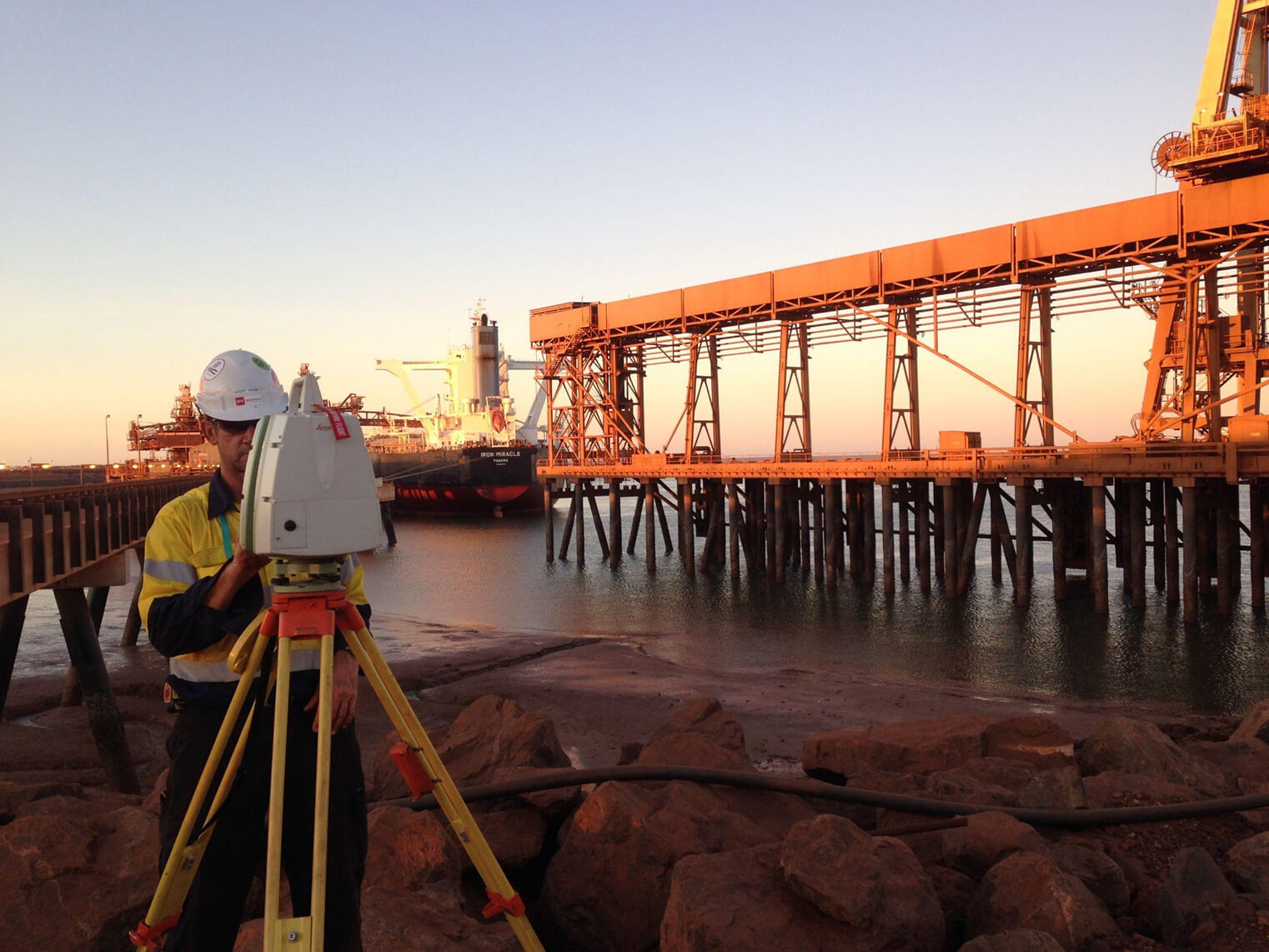
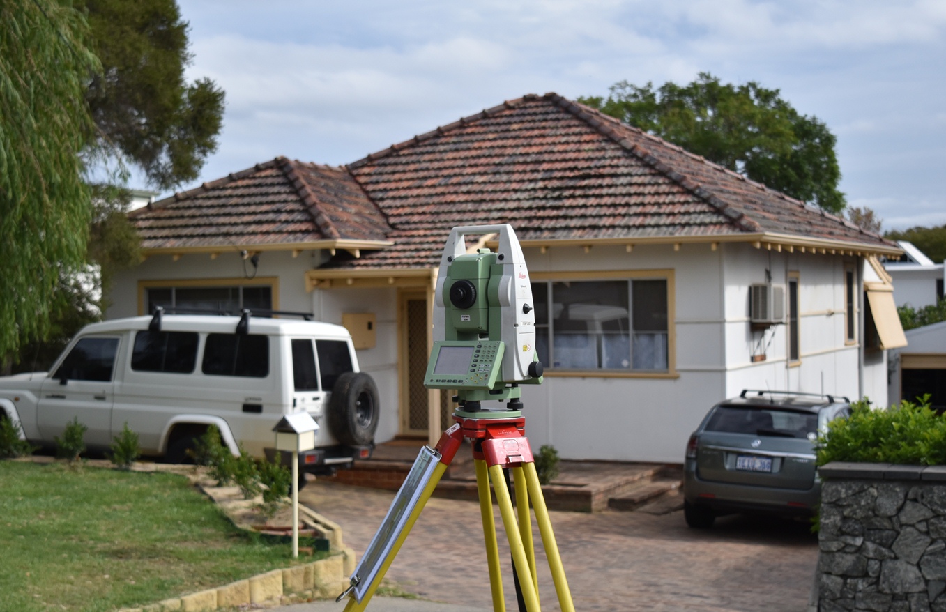
Our cutting-edge technology, including advanced sensors, UAVs, GIS, and 3D modelling, delivers precise, real-time data. By integrating high-end tools and innovative methods, we ensure you have the insights needed for informed, efficient decision-making throughout your projects.
Data Visualisation
Our approach allows integration, analysis and visualisation of your asset. Our streamlined process ensures you have the real-time insights needed to optimise planning and keep your projects on track.
Efficiency
Our geospatial solutions are tailored to your project needs, allowing us to quickly integrate with your existing digital platforms and maximise efficiency. We’re in and out, delivering results that keep your projects moving seamlessly.
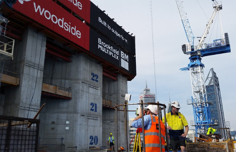
Need reliable data to drive your project? Our geospatial mapping services team specialises in aerial and terrestrial laser scanning, providing you with the detailed, real-time information needed for smart decision-making. Whether you’re managing a large-scale infrastructure asset or a site survey, we bring a wide range of expertise – from GIS analysis and 3D modelling to data processing and dilapidation surveys. With advanced surveying technology, we capture every angle of your project, ensuring you have accurate insights. Reach out to us today and let’s talk about how our geospatial services can support you.
Innovative Geospatial Mapping Services for Precise Results
")


Shaping the Future of Data with Innovative Geospatial Services
Our Approach
As a leading geospatial services company, our approach to geospatial information and services is driven by accuracy, efficiency, and client-focused solutions. We understand the critical role that spatial data plays in planning, development, and asset management, providing the foundation for informed decision-making and project success. With us, you can be confident that your project is built on data you can trust, ensuring every decision is backed by clarity and expertise.
The People Company Of Spatial Experts

Our experienced team blends innovation with a commitment to excellence, delivering advanced geospatial and digital solutions across Western Australia.
With deep expertise in the AEC industry, mining and resources, heritage conservation, infrastructure, and large precincts, we provide tailored services to meet the unique demands of each sector.
Success Stories
Our Impact in Action
Explore our case studies to see how RM Surveys has applied advanced geospatial and digital solutions to real-world projects. From 3D modelling and GIS mapping to UAV surveys, our innovative approaches have helped clients achieve precise results and enhanced project efficiency. Discover how our expertise has driven success across various industries.
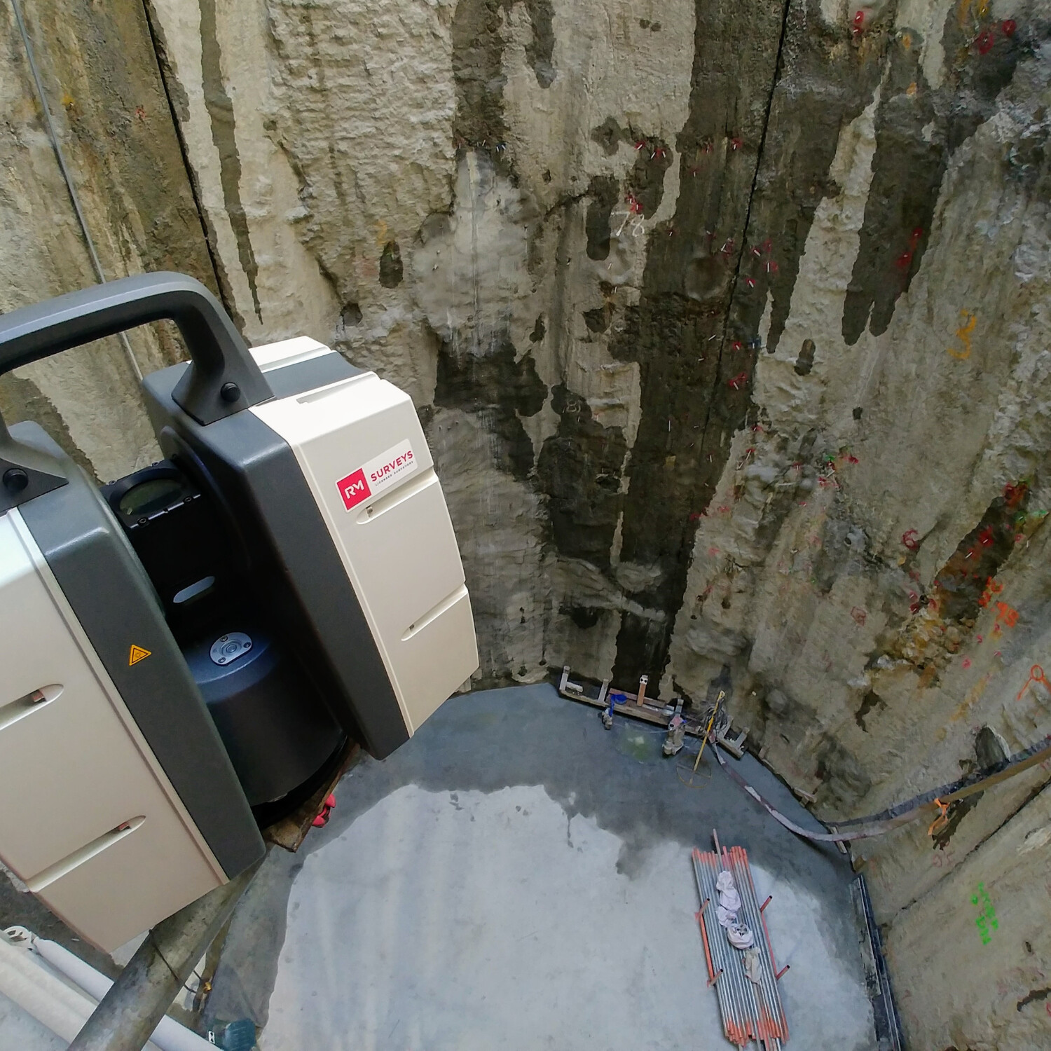
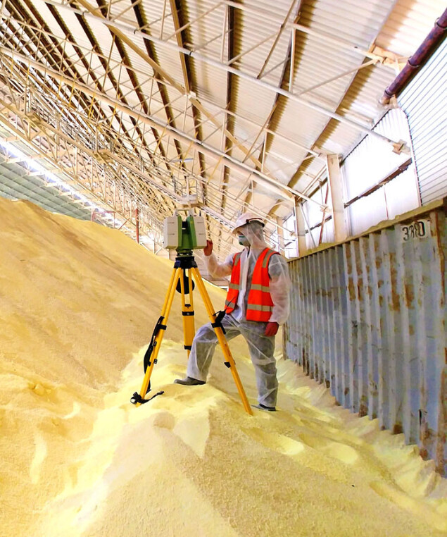
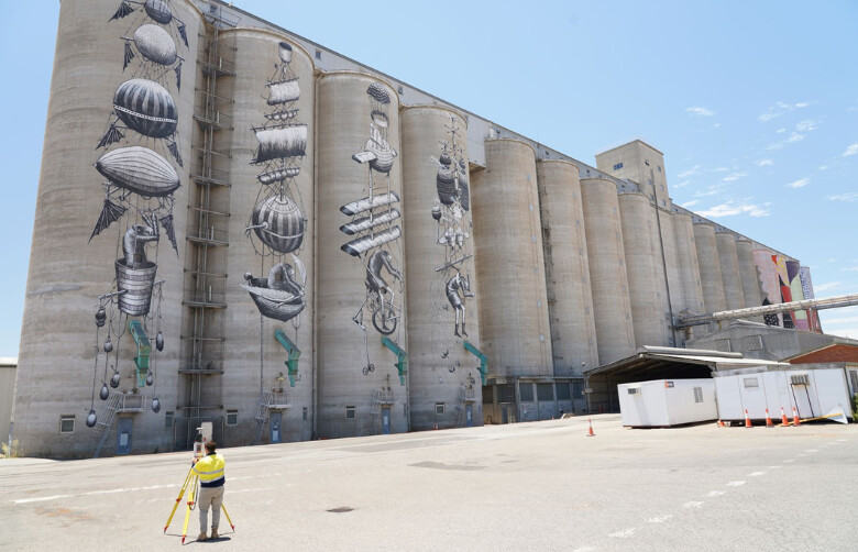
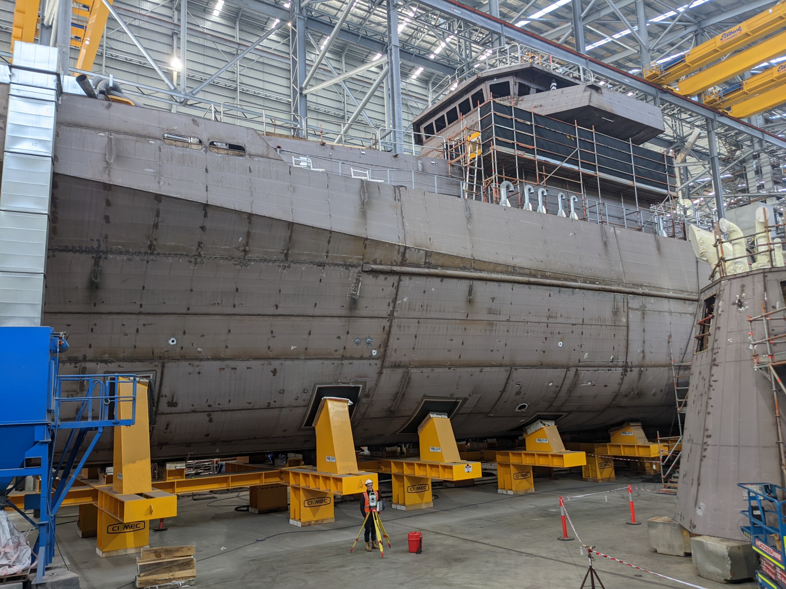
Digital Twin for CBH Group
RM Surveys was engaged by CBH Group to provide geospatial and digital services for terminal upgrade works, addressing a lack of accurate documentation. Using two terrestrial laser scanners, we captured detailed internal and external data, creating a comprehensive digital twin of the facility. This digital representation offered critical insights for design planning and decision-making. Our online hosting platform enabled seamless access and integration of this data, allowing stakeholders to analyse and optimise the terminal’s assets. RM Surveys is committed to unlocking client asset potential through advanced data visualisation.
Industry
Sectors
Explore how RM Surveys’ geospatial and digital services cater to diverse sectors. From urban planning and construction to environmental management and infrastructure development, our advanced geospatial solutions provide accurate data and digital integration. Discover the industries we serve and see how our expertise can elevate your asset’s outcomes.
Frequently Asked Questions
What geospatial services does RM Surveys offer?
RM Surveys provides a range of geospatial services, including:
- 3D laser scanning
- UAV aerial surveys
- Bathymetric surveys
- The creation of digital twins
These services support accurate site analysis, design planning, and asset management across various industries, helping clients optimise assets and make informed decisions.
How can RM Surveys' digital services benefit my project?
RM Surveys’ digital services enhance projects by providing valuable insights through spatial data, improving planning and decision-making, and offering clear visualisations. They enable efficient resource management and risk assessment. By integrating various data sources and allowing real-time monitoring, these services support effective project management and communication with stakeholders, leading to better-informed decisions and more successful outcomes.
What industries can benefit from RM Surveys’ geospatial services?
RM Surveys' geospatial services benefit a diverse range of industries by providing critical spatial insights and data. They are used in urban planning for city design and infrastructure; agriculture for crop and resource management; transportation for route optimization; environmental management for tracking and assessing changes; and emergency services for disaster response. Additionally, real estate, healthcare, tourism, telecommunications, and defence all leverage geospatial data to enhance decision-making, efficiency, and strategic planning.
How does RM Surveys ensure the accuracy of geospatial data?
RM Surveys ensures geospatial data accuracy by using reliable, up-to-date data, and regularly validate instrumentation used. We employ advanced technology, adhere to industry standards, and provide staff with proper training. Additionally, our refined QA/QC procedures further enhance data quality and reliability.