
This downloadable document showcases our innovative approach, advanced technology, and proven track record in delivering utility mapping solutions. Learn how we partner with businesses to unlock the hidden potential of their assets.
Underground Utility Mapping
Underground Utility MappingOur Underground Utility Mapping service ensures precise identification of buried utilities, helping you avoid costly damage and keep your assets safe and on schedule.
Comprehensive underground utility mapping for safe construction and excavation
Enhanced Visualisation
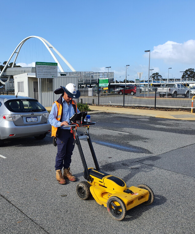
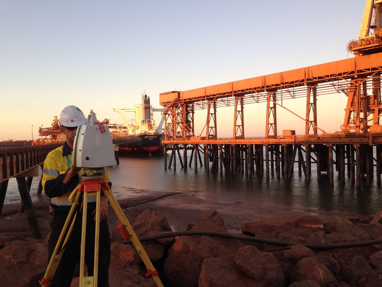
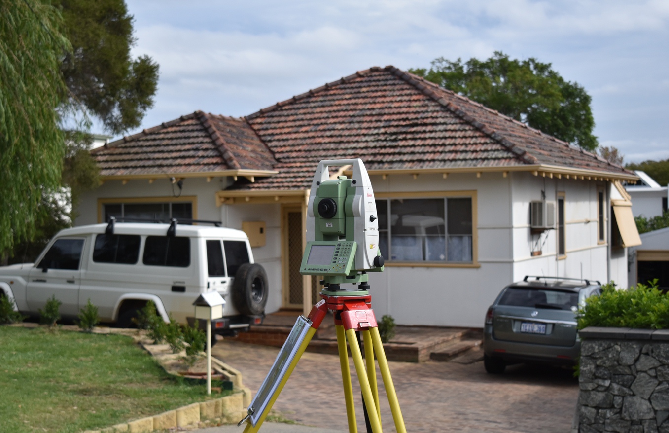
Our underground asset mapping services utilise advanced technology to accurately locate and map subsurface utilities and infrastructure, minimising the risk of costly damage during excavation.
Confident Decision-Making
We provide detailed reports and visualisations, offering a clear understanding of underground assets to support safe and efficient planning, design, and construction processes.
Seamless Efficiency
Our non-invasive underground asset mapping techniques ensure minimal disruption to your site while delivering fast and reliable results, keeping your project on schedule and within budget.
Spatial Foundation
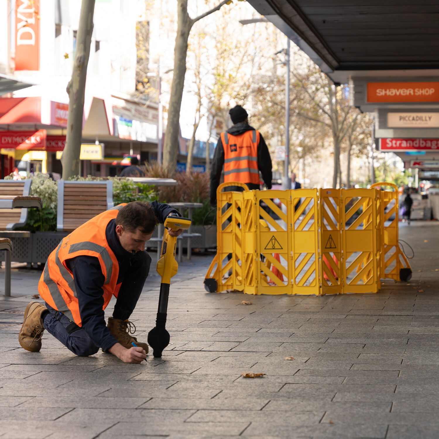
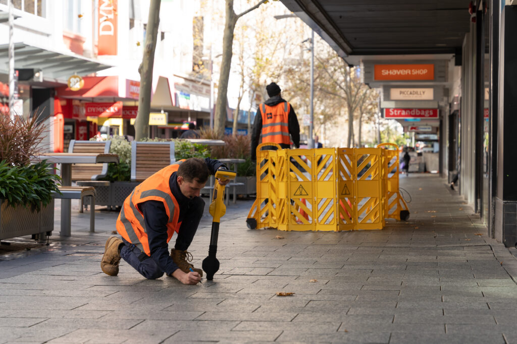
Underground Utility Mapping is essential for construction and excavation, ensuring safety by accurately locating utilities like gas, water, and electricity lines, preventing damage and costly delays. We work closely with clients to select the best detection methods, balancing investment and technology to deliver precise, reliable results.
Whether you need Quality Level A, B, C, or D, our certified team at RM Surveys can handle all locating needs, regardless of your project’s size or stage.
As a certified locating organisation (CLO), we also have Dial Before You Dig certified locators.
Our Approach to Utility Mapping
Precision, Insight, Action
RM Surveys offers Underground Service Locating at Quality Levels A, B, C, and D, tailored to the accuracy required for your project.
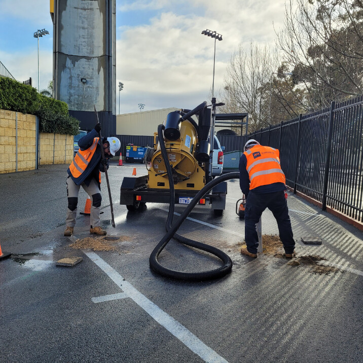
We utilise advanced surveying equipment and techniques, including non-destructive digging methods like potholing and vacuum excavation, ensuring safe excavation without damaging underground utilities.
Our utility locating services also include concrete scanning, a non-destructive testing method that accurately detects and evaluates objects embedded within concrete structures.
Empowering Decisions with Insight
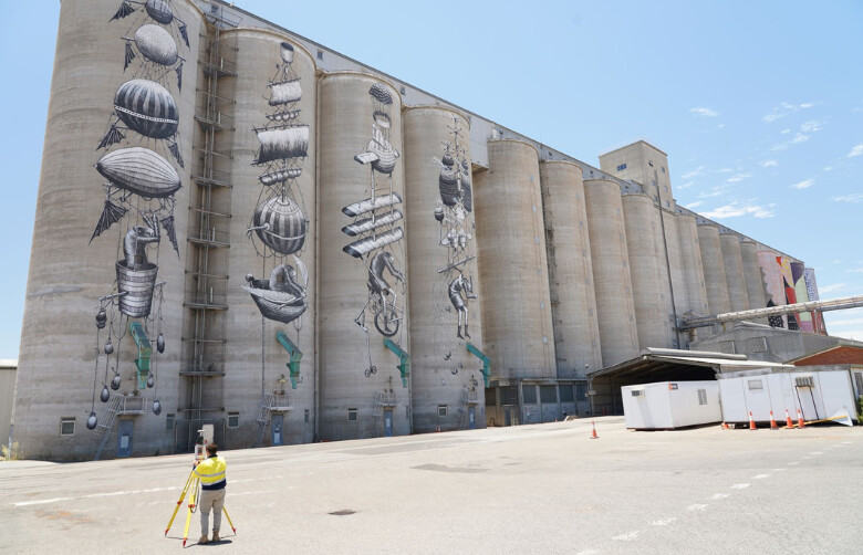
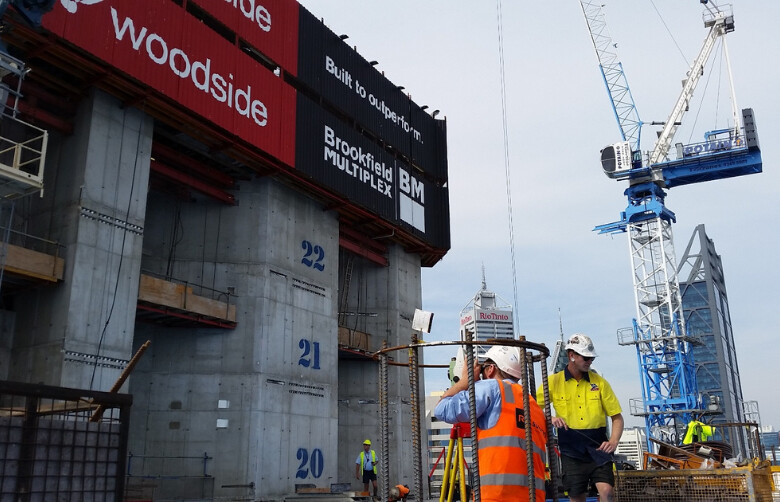
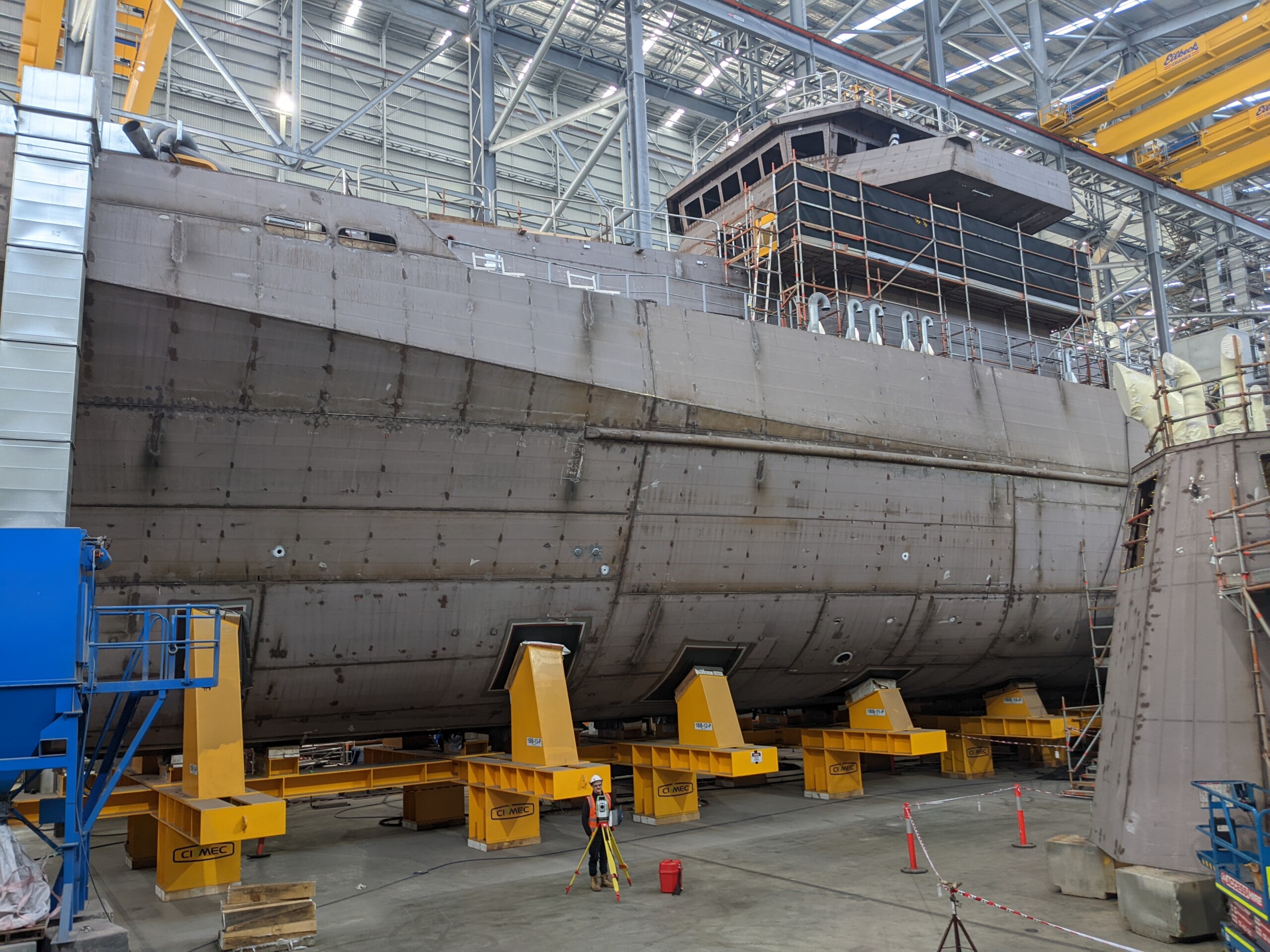
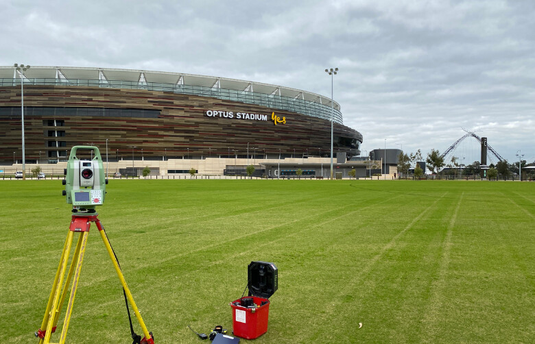
Discover the full spectrum of RM Surveys’ Utility Mapping expertise with our Capability Book
Capability Statement
The People Company Of Spatial Experts

Our Underground Utility Mapping services combine technical expertise with a people-focused approach. We work closely with clients to understand their unique project needs, delivering precise underground utility mapping that ensures safety and efficiency.
With a team of skilled professionals and advanced technology, we provide reliable solutions that protect your assets and keep your projects on track.
Success Stories
Our Impact In Action
Explore our case studies to see how RM Surveys has successfully delivered precise underground asset mapping solutions across various projects. From utility detection to complex infrastructure planning, our advanced mapping techniques have helped clients avoid costly disruptions and ensure safe construction. Discover how our expertise has led to successful outcomes in challenging environments.

Industry
Sectors
Discover how RM Surveys’ underground asset mapping services support a wide range of sectors. From construction and infrastructure to utilities and environmental management, our precise mapping solutions help you identify and manage subsurface assets with confidence. Explore the industries we serve and see how our expertise can enhance your asset’s safety and success.
Frequently Asked Questions
What is utility mapping, and why is it important for my project?
Utility mapping involves identifying and mapping the precise locations of underground utilities, such as gas, water, and electricity lines. This process is crucial for avoiding accidental damage during construction, preventing costly repairs, and ensuring safe excavation.
What does an underground utility locator do, and how accurate are their services?
An underground utility locator uses specialised equipment to detect and mark the location of buried utilities. Accuracy varies by Quality Level: Quality A offers the highest precision, while Quality D relies on existing records. The right level is chosen based on the project's needs and site conditions.
What utility locating services do you offer, and how do they differ?
Our utility locating services include Quality Levels A, B, C, and D. Quality A offers the most accurate locating using professional surveying equipment, while Quality D is based on existing records with minimal verification. Each level is tailored to the project's accuracy requirements.
How does non-destructive digging enhance utility locating?
Non-destructive digging, also known as potholing or vacuum excavation, is used alongside utility locating to safely expose underground utilities without causing damage. This method provides precise verification of utility locations, reducing the risk of costly and dangerous errors during excavation.