Bathymetric Surveying

Bathymetric surveys deliver accurate underwater mapping essential for marine construction, dredging, and environmental monitoring. At RM Surveys, we use advanced technology to provide precise data, ensuring smooth project execution and informed decision-making. Trust our expert team to reduce risks and support compliance with industry standards.
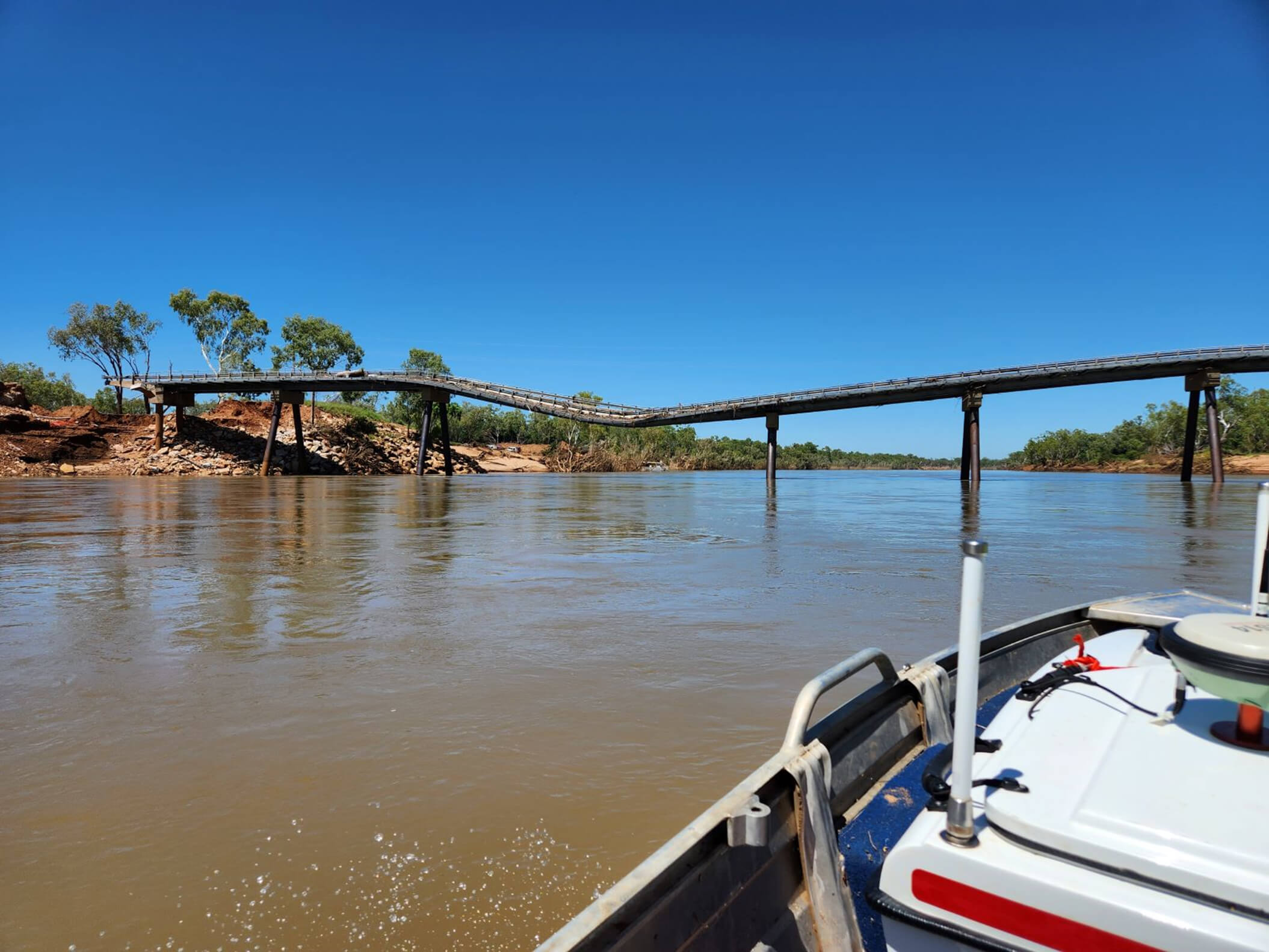
A boat

Comprehensive Bathymetric Surveying Solutions

At RM Surveys, we provide high-precision bathymetric surveys to deliver detailed underwater mapping for your coastal and marine projects.

Our expert team uses advanced echo technology to accurately measure water depths and detect subsurface features, ensuring you have the reliable data needed for safe navigation, infrastructure planning, or environmental monitoring.

Whether you’re managing a port, assessing dredging requirements, or conducting an environmental impact study, our bathymetric surveying services offer the expertise and precision you can trust for informed decision-making.

A boat

Accurate Depth Data, Better Decisions: The Benefits of Bathymetric Surveys

Bathymetric survey services provide detailed underwater mapping, essential for safe navigation, construction, and resource exploration. By identifying hazards early, these surveys support the planning of marine infrastructure, reducing delays and rework.

They enhance safety by detecting underwater obstructions and ensuring the smooth installation of structures like pipelines or turbines. Bathymetric data is also crucial for environmental monitoring and regulatory compliance, while improving dredging operations by identifying sediment buildup.

Bathymetric Surveying Projects

View all projects
project image
1 Bathymetric Survey of the Donnelly River

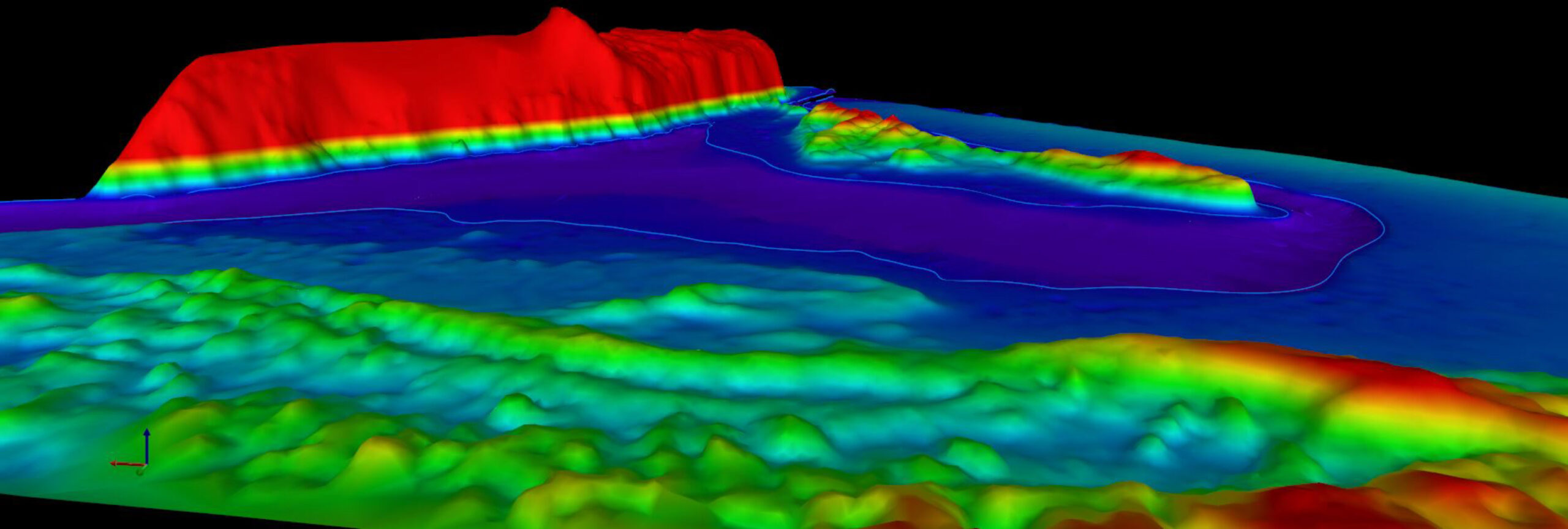
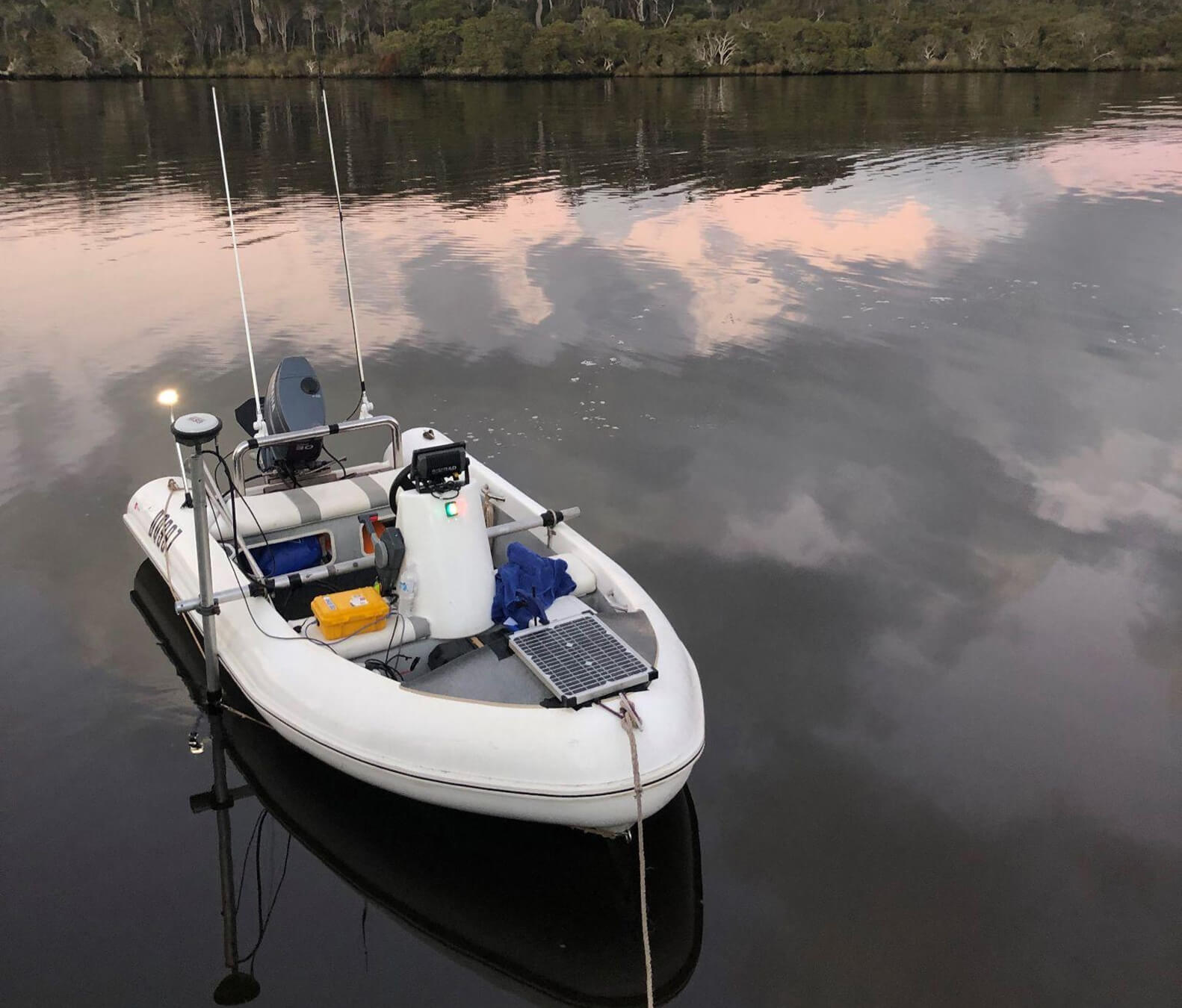
RM Surveys completed a bathymetric survey at the mouth of the Donnelly River, using their remote-controlled Accura Bathymetric survey vessel to map the riverbed and their Inspire 2 UAV for aerial photography. This resulted in a detailed digital terrain model (DTM) covering the dune, beach, banks, and riverbed. Despite challenges with remote access, RM Surveys’ thorough pre-planning ensured a cost-efficient, time-effective solution for the client.

View more
project image
2 Bathymetric Survey of Fitzroy River

RM Surveys recently completed bathymetric surveys of seven remote ponds in the Fitzroy River, West Kimberley. Using the latest remote-controlled Accura boat equipped with a Dual Frequency Cee Echo sounder, they successfully mapped both the soft and hard lake bottoms. This advanced technique allowed RM Surveys to calculate sediment volume, ranges, and distribution despite the challenging terrain.

View more
project image
3 Maylands Lake

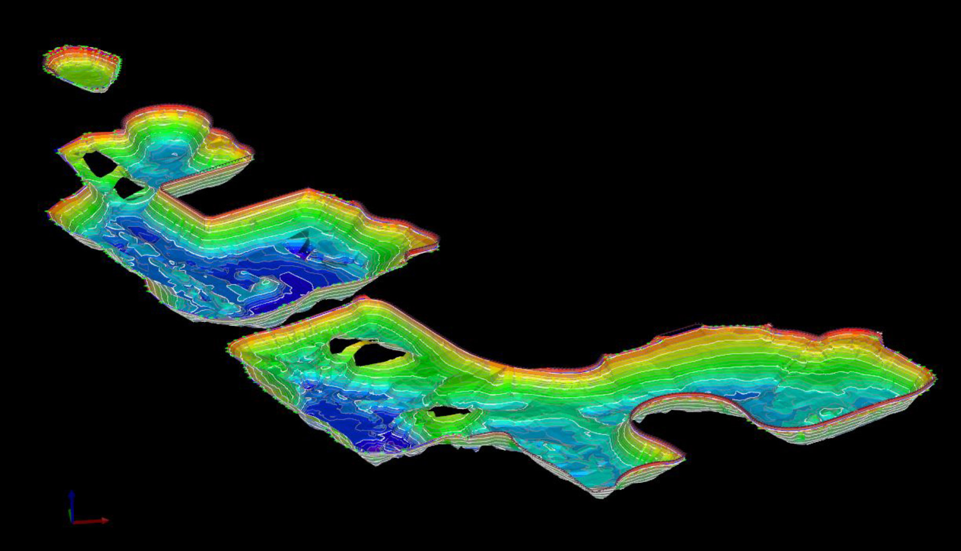
As part of the City of Bayswater’s lake monitoring program, RM Surveys conducted bathymetric surveys of Lake Brickworks, Lake Bungana, and Lake Brearley to assess sediment levels. This data was crucial for recommendations to improve water quality and prevent future algal blooms. Using their remote-controlled Accura boat and Dual Frequency Cee Echo sounder, RM Surveys mapped both the soft and hard lake bottoms, calculating sediment volume, ranges, and distribution.

View more

Frequently Asked Questions

What is a bathymetric survey, and why is it important?

A bathymetric survey involves measuring the depth and contours of underwater terrain using specialised echo sounding equipment. This data is crucial for accurate seabed mapping, which helps in project planning, navigation safety, and environmental monitoring in marine and coastal areas.

What industries benefit from bathymetric surveys?

Bathymetric surveys are vital for a wide range of industries, including marine construction, oil and gas, renewable energy, dredging, and environmental monitoring. These surveys support everything from safe construction and resource exploration to environmental protection and flood control.

How accurate are bathymetric surveys?

The achievable accuracy of bathymetric surveys can range from 1 to 3 percent of the depth. It depends on the specific survey method (multibeam or single beam sonar), water quality, water depth, and other environmental factors. However, in challenging water bodies the accuracy may be lower.

How long does a typical bathymetric survey take?

The duration of a bathymetric survey depends on the size of the area, water depth, and project requirements. Small surveys may take a day or two, while larger, more complex projects could require several days or weeks to complete. At RM Surveys, we provide timelines tailored to your project's scope and needs.